Gauge Conditions
Runnable: 300.0 – 5,000.0 CFS
Flow range for best boatability uncertain. Please help your fellow boaters with a comment or report.
Data from American Whitewater & USGS
Photo

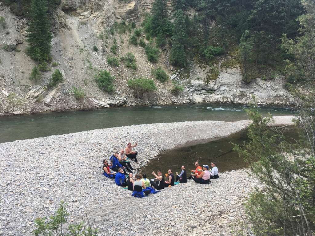
Photo courtesy of American Whitewater
Description
Put In rapid marks the confluence of Rock Creek's Middle and West Forks, presenting a complex entry point with potential hydraulic challenges depending on water levels. Paddlers should carefully scout for submerged rocks and potential channel shifts, as the merging flows can create unpredictable currents and transit lines.
Location
Other Rapids on This Run (1)
View Full Run
Middle & West Fork confluence to Clark Fork R.
Rock Creek (Missoula County)
II-III
52.5 mi
Current Conditions
5-Day Forecast
Whitewater data from
American Whitewater
American Whitewater