Put-in
CA
Put In
Cosumnes, Middle Fork - Outingdale to Highway 49 (last 2 mi. on Main Cosumnes) (CA)
Gauge Conditions
Runnable: ? – ? CFS
Approximate - nearest available gauge. Use as general reference only.
Data from American Whitewater & USGS
CDEC Flow Data California
Data from California Data Exchange Center (CDEC)
Photo
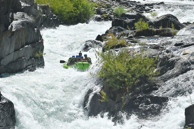
Photo courtesy of American Whitewater
Description
Put In rapid marks the starting point for the Middle Fork Cosumnes run, with a relatively straightforward entry that allows boaters to quickly assess river conditions. The rapid itself offers minimal technical challenges but serves as an important transition from the put-in area into the river's main channel, requiring paddlers to maintain good boat control and line selection through initial water features.
Location
Other Rapids on This Run (1)

View Full Run
Outingdale to Highway 49 (last 2 mi. on Main Cosumnes)
Cosumnes, Middle Fork
IV-V+
11.2 mi
Current Conditions
5-Day Forecast
Whitewater data from
American Whitewater
American Whitewater