Gauge Conditions
Runnable: ? – ? CFS
Approximate - nearest available gauge. Use as general reference only.
Data from American Whitewater & USGS
Photo

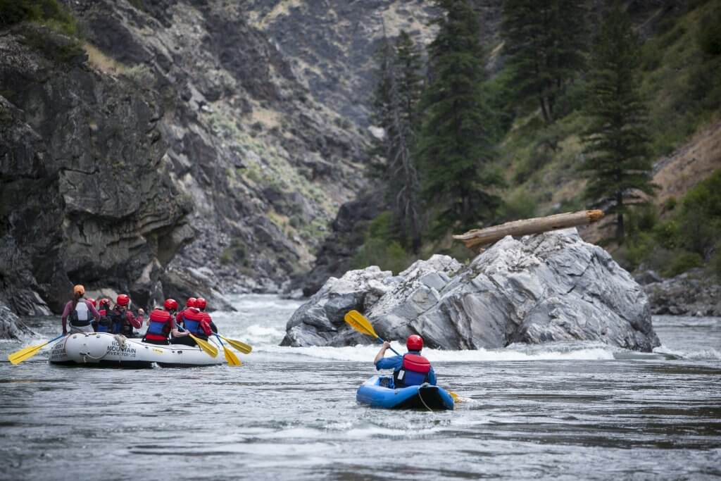
Photo courtesy of American Whitewater
Description
Put In rapid marks the starting point for this section of the Dennys River, serving as an entry into the river's initial whitewater stretch. While specific details are limited, paddlers should be prepared for potential shallow sections, submerged rocks, and variable water levels that could impact navigation. Standard river safety precautions and scouting ahead are recommended before launching.
Location
Other Rapids on This Run (1)
View Full Run
Rte. 86 to 2.5 mi downstream
Dennys
I-III
0.5 mi
Current Conditions
5-Day Forecast
Whitewater data from
American Whitewater
American Whitewater