Gauge Conditions
Runnable: 190.0 – 5,000.0 CFS
Upper limit for best boatability uncertain. Please help your fellow boaters with a comment or report.
Data from American Whitewater & USGS
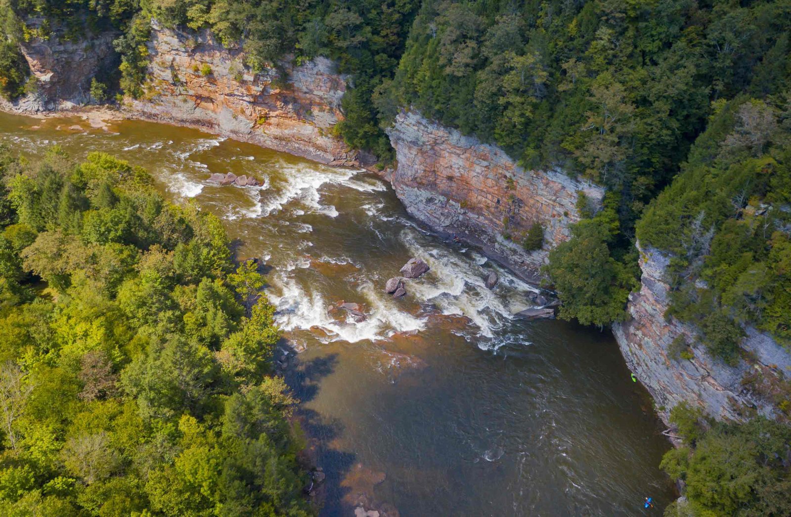
Photo
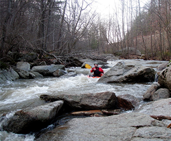
Photo courtesy of American Whitewater
Description
Aerial view appears to show a bit of a constricted rock jumble?
NOTE: we make no assertion the photo is of this particular area, but only feature it to represent the sort of drops which exist. We welcome nyone who can 'pin' the drop to a more accurate location to remove it from this feature/location and add it at a more appropriate location.
Location
View Full Run
Starkey Ball Fields to Franklin Road (Hwy.220)
Back Creek (Roanoke R. trib)
I-III
6.6 mi
Current Conditions
5-Day Forecast
Whitewater data from
American Whitewater
American Whitewater