Take-out
WA
Red Bridge, Take Out
Stillaguamish, S. Fork - 1 - Deer Creek to Mallardy Creek (Upper) (WA)
Gauge Conditions
Runnable: 6.0 – 7.5 FT
Listed range is based on snowmelt. You'll want a higher minimum flow (6.5) for rainy season runs.
Data from American Whitewater & USGS
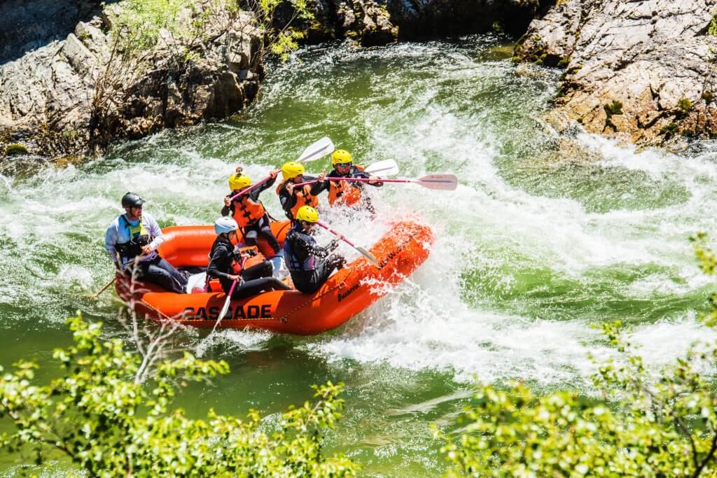
Photo
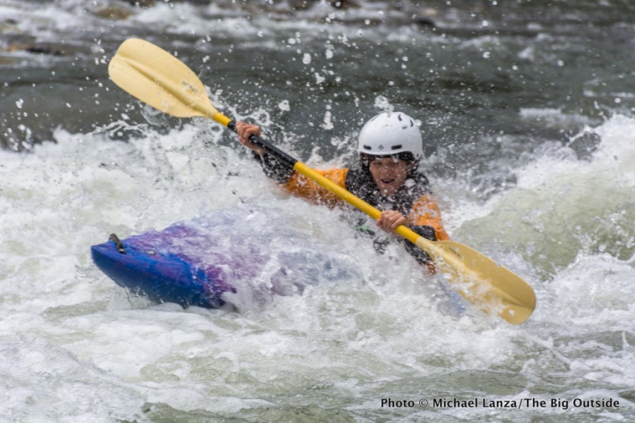
Photo courtesy of American Whitewater
Description
Red Bridge Take Out marks the end of the Upper South Fork Stillaguamish run, featuring a complex confluence with potential hydraulic features and debris depending on water levels. Paddlers should carefully scout the exit point and be prepared for potential swift currents, shifting channel conditions, and potential obstructions near the bridge structure. Although not rated with a specific difficulty class, attentive navigation and situational awareness are critical when approaching this river transition point.
Location
Other Rapids on This Run (1)
View Full Run
1 - Deer Creek to Mallardy Creek (Upper)
Stillaguamish, S. Fork
II+
7.6 mi
Current Conditions
5-Day Forecast
Whitewater data from
American Whitewater
American Whitewater