Gauge Conditions
Runnable: ? – ? CFS
Approximate - nearest available gauge. Use as general reference only.
Data from American Whitewater & USGS
Photo
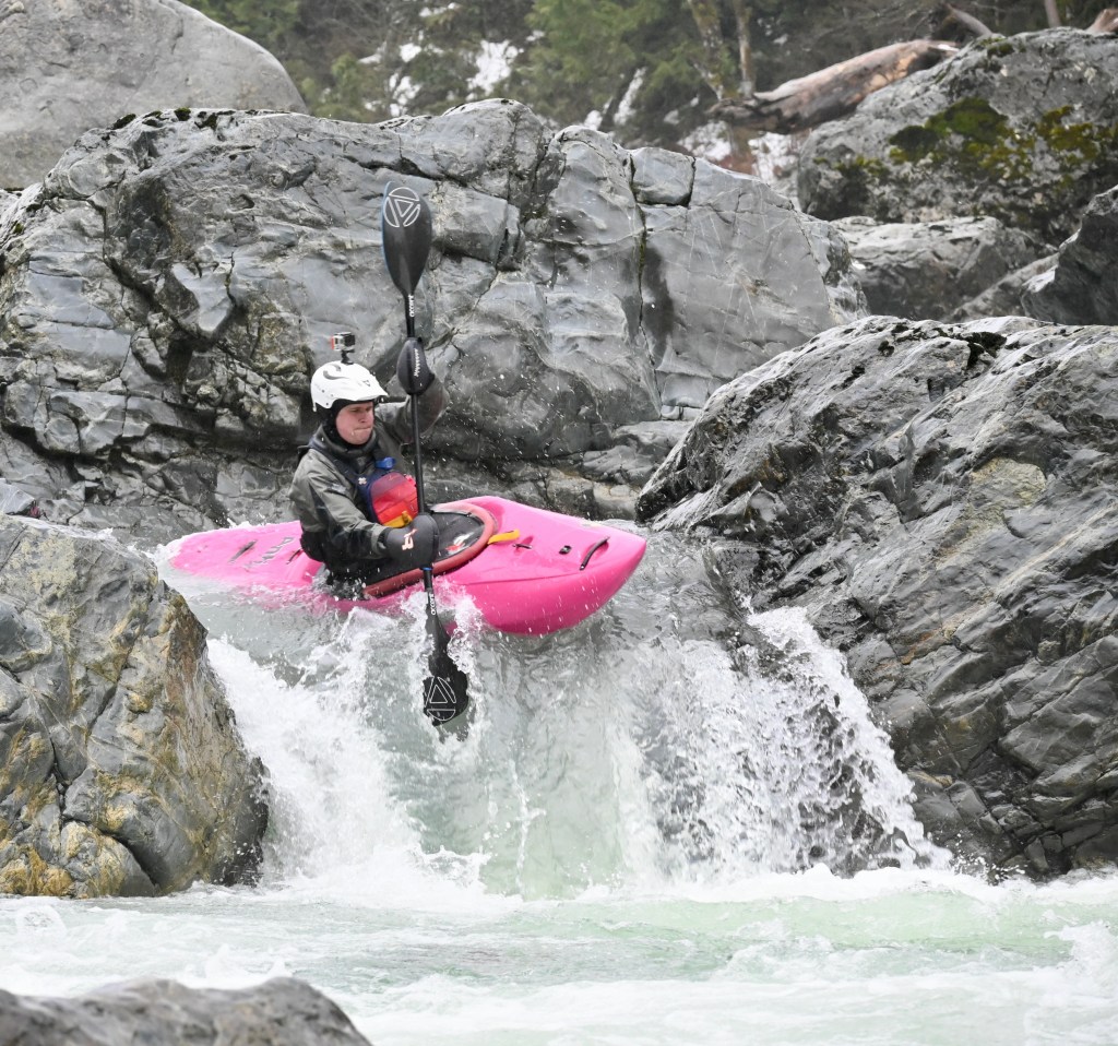
Photo courtesy of American Whitewater
Description
Take out at the Highway 2 bridge east of the town of Skykomish where the Beckler and Tye come together to form the South Fork Skykomish. This bridge (Highway 2 mile 49.8) is east of the turnoff for FR 65. You can find parking on the upstream river left side of the bridge. Alternatively you can shorten the run by taking out anywhere along FR 65 where the road meets the river.
Location
Other Rapids on This Run (1)

View Full Run
Rapid River to S.Fork Skykomish
Beckler
II-III
8.2 mi
Current Conditions
5-Day Forecast
Whitewater data from
American Whitewater
American Whitewater