Gauge Conditions
Data from American Whitewater & USGS
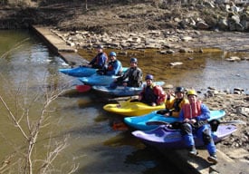
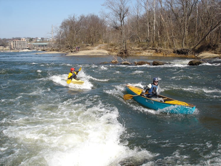
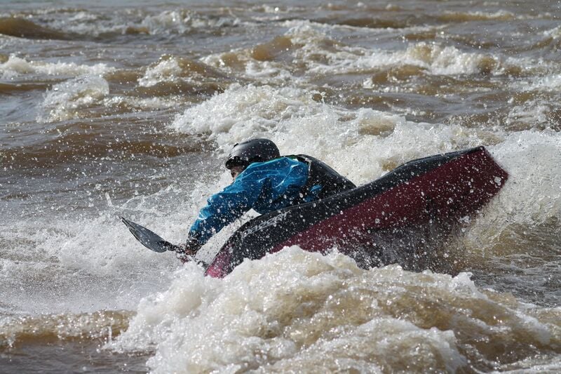
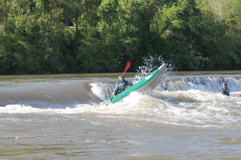
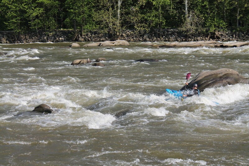
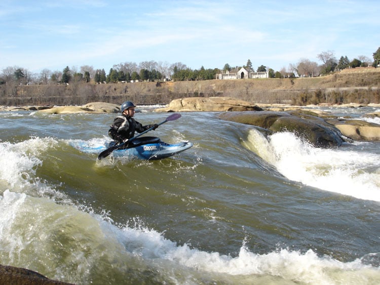
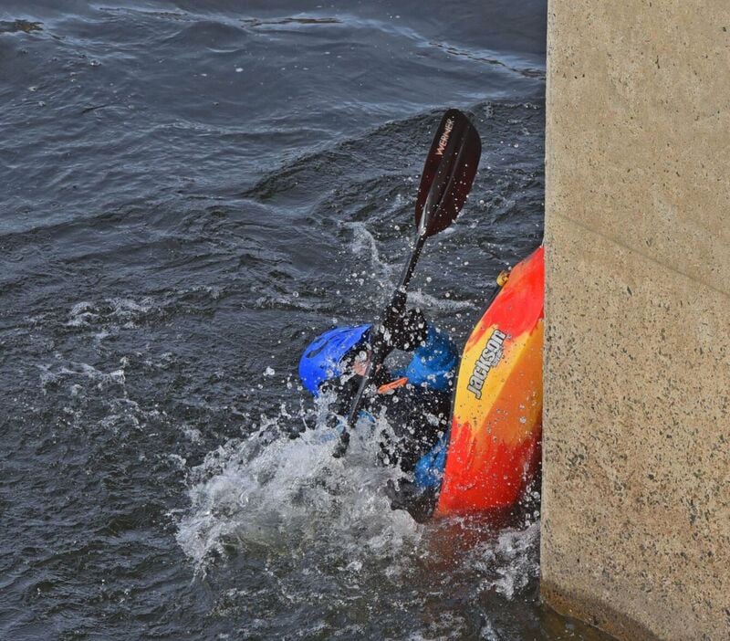
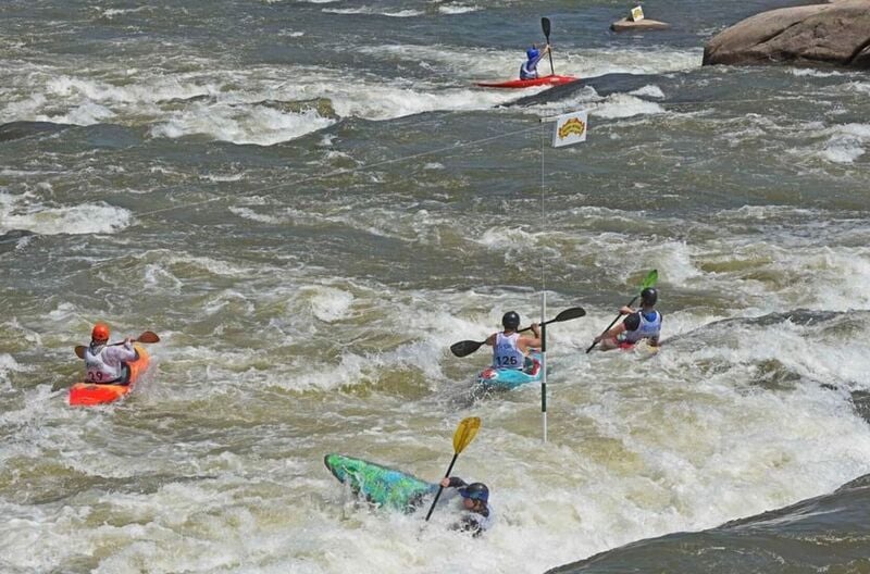
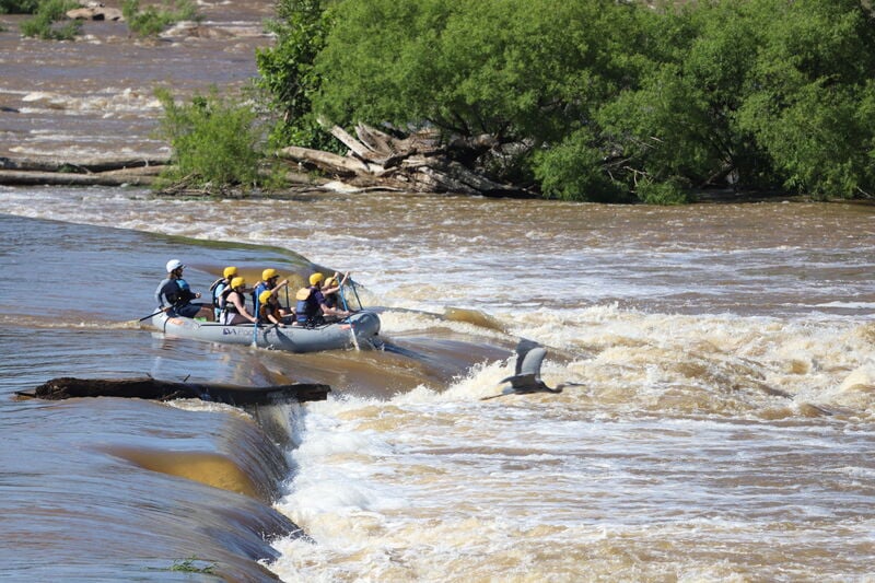
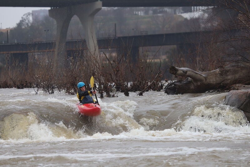
Photo
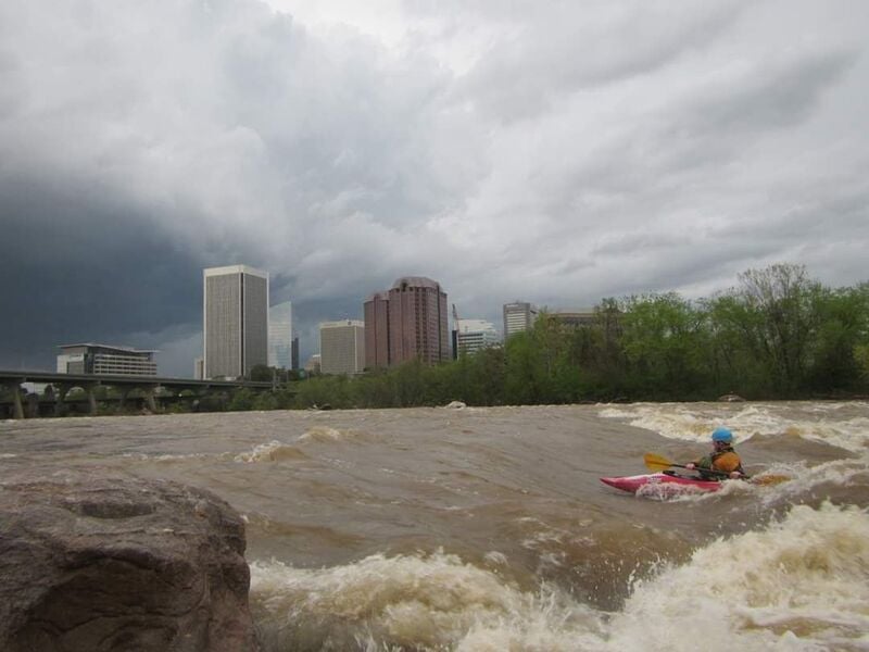
Photo courtesy of American Whitewater
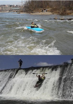
Description
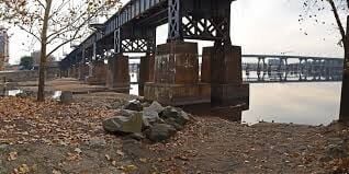
Directions to Southside (river right) Takeout:
From I-95, take Maury St. exit 73. Turn right onto Maury St. Take the 2nd left onto East 2nd St. Turn right onto Hull St (14th St) at light, go 50ft and turn left into parking lot. Walk north on sidewalk until just inside floodwall to see paved access path down to river where you will takeout amidst the rip-rap rocks.
GPS Coordinates to parking lot: 37.526449, -77.435898
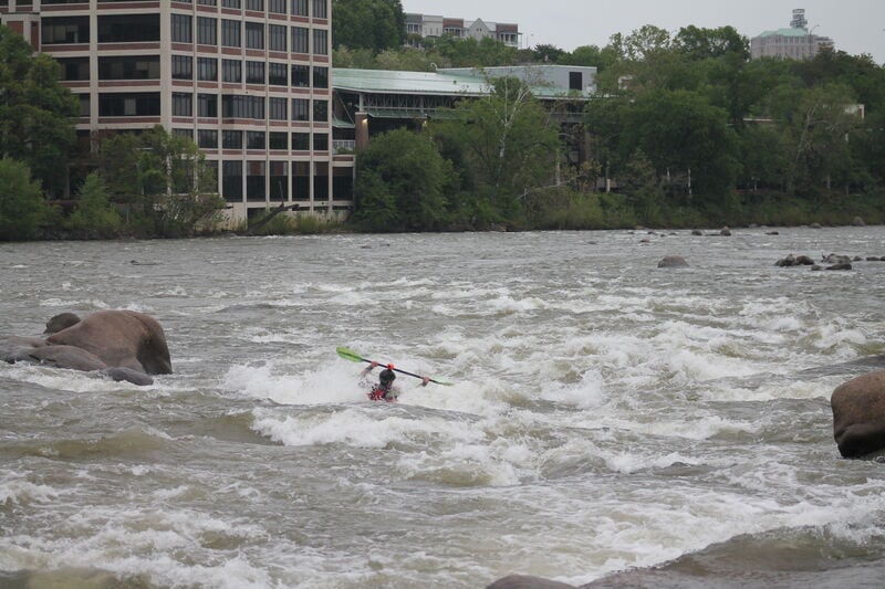
Location
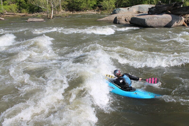
Other Rapids on This Run (20)
 Rapid
N/A
Rapid
N/A
Put-in
 Playspot
II
Playspot
II
First Break
 Playspot
II+
Playspot
II+
Variation
 Playspot
II
Playspot
II
Grumman
 Rapid
III
Rapid
III
Dam Drop
 Rapid
III
Rapid
III
Cemetery
 Playspot
II+
Playspot
II+
Corner Rapid
 Rapid
III+
Rapid
III+
Target Rock
 Waterfall
III+
Waterfall
III+
Hollywood
 Playspot
I
Playspot
I
Lee Bridge
 Rapid
N/A
Rapid
N/A
Tredegar Iron Works
 Waterfall
III
Waterfall
III
Fish Ladder
 Waterfall
III+
Waterfall
III+
Pin Cushion
 Rapid
III+
Rapid
III+
The X's
 Rapid
III+
Rapid
III+
8 Ball
 Waterfall
III
Waterfall
III
Second Break
 Playspot
III+
Playspot
III+
Pipeline
 Rapid
III+
Rapid
III+
Powerline
 Rapid
III
Rapid
III
Powerdunk
 Rapid
III+
Rapid
III+
Secret Boof
View Full Run
5. Lower James through Richmond
James
III-IV
2.5 mi
Current Conditions
5-Day Forecast
Whitewater data from
American Whitewater
American Whitewater