Gauge Conditions
Runnable: 300.0 – 5,000.0 CFS
Best levels unknown. Help us out! Add a comment.
Data from American Whitewater & USGS
Photo
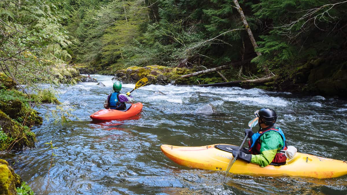
Photo courtesy of American Whitewater
Description
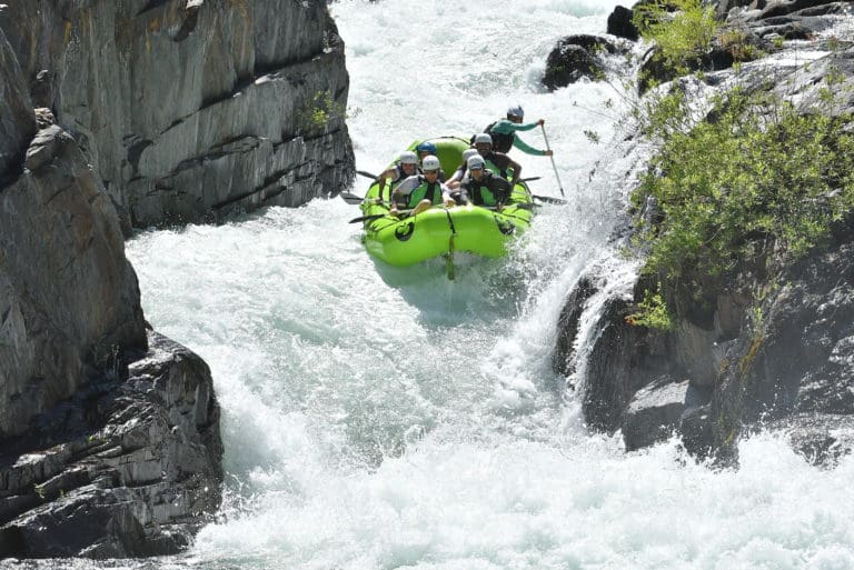
Take Out rapid marks the end of this river section, requiring careful navigation through a series of boulder-strewn channels that demand precise boat positioning. Paddlers should be prepared for potential undercut rocks and shifting water volumes that can create unpredictable hydraulics, especially during varying seasonal flow rates.
Location
Other Rapids on This Run (1)
View Full Run
01. Bridge to confluence with East Fork
Blacks Fork, W. Fork
I-III
3.4 mi
Current Conditions
5-Day Forecast
Whitewater data from
American Whitewater
American Whitewater