Gauge Conditions
Runnable: ? – ? CFS
Approximate - nearest available gauge. Use as general reference only.
Data from American Whitewater & USGS
Photo
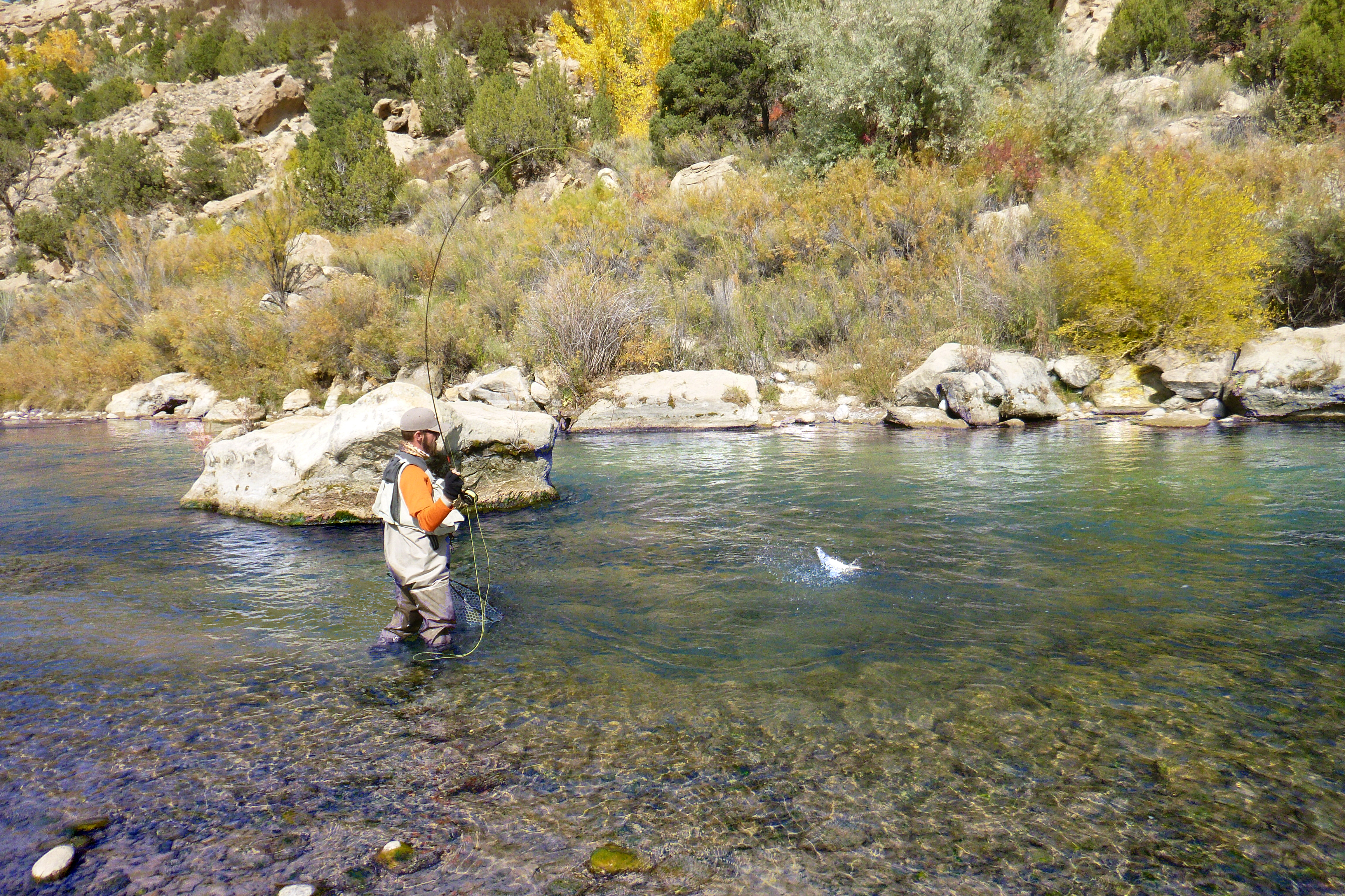
Photo courtesy of American Whitewater
Description
Take Out marks the final navigable section of this river stretch, signaling the end of the Navajo River run near the Colorado border. While specific details are limited, paddlers should be prepared for potential flat water or takeout logistics that may require careful navigation or portage. Always scout ahead and assess current conditions before attempting this section.
Location
Other Rapids on This Run (1)

View Full Run
01. Chromo,CO to Colorado Border
Navajo
II
28.8 mi
Current Conditions
5-Day Forecast
Whitewater data from
American Whitewater
American Whitewater