Gauge Conditions
Runnable: ? – ? CFS
Approximate - nearest available gauge. Use as general reference only.
Data from American Whitewater & USGS
Photo
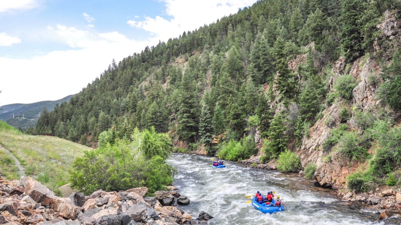
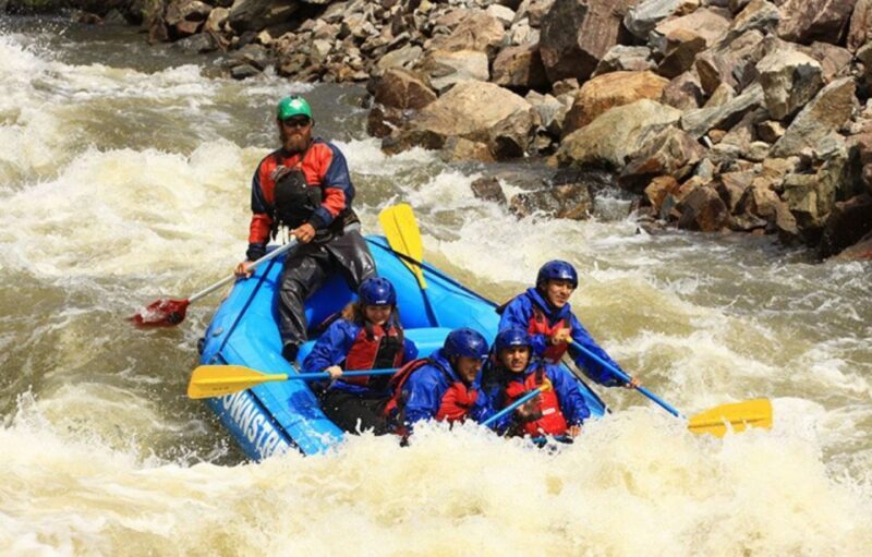
Photo courtesy of American Whitewater
Description
Take Out rapid is located at the end of the Clear Creek run, marking the exit point for paddlers descending from the Fish Creek confluence. The rapid's characteristics and specific challenges are not detailed in the provided information, suggesting potential local knowledge or route-specific nuances that would require on-site assessment. Paddlers should approach with standard whitewater caution and be prepared for potential takeout logistics.
Location
Other Rapids on This Run (1)
View Full Run
01. Fish Creek confluence to 2 miles downstream
Clear Creek
I-III
2.2 mi
Current Conditions
5-Day Forecast
Whitewater data from
American Whitewater
American Whitewater