Gauge Conditions
Data from American Whitewater & USGS
Photo
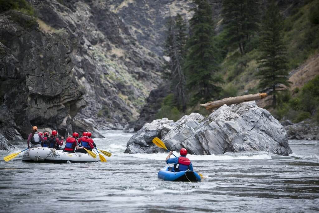
Photo courtesy of American Whitewater
Description
Take Out marks the terminal rapid before the confluence with the Verde River, characterized by a narrow channel with potential for shifting debris and submerged obstacles. Paddlers should carefully scout the exit point, maintaining awareness of potential strainers and varying water levels that can dramatically alter the rapid's character. While difficulty is unclassified, navigation requires attentive route-finding and precise maneuvering to safely transition from the Sycamore Creek drainage.
Location
Other Rapids on This Run (1)

View Full Run
01. Headwaters to Verde River Confluence
Sycamore Creek
II-IV
34.4 mi
Current Conditions
5-Day Forecast
Whitewater data from
American Whitewater
American Whitewater