Gauge Conditions
Runnable: ? – ? CFS
Approximate - nearest available gauge. Use as general reference only.
Data from American Whitewater & USGS
Photo

Photo courtesy of American Whitewater
Description
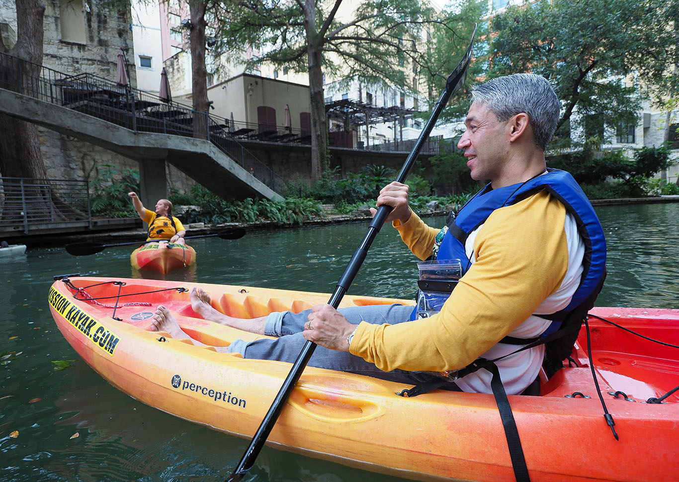
Take Out rapid on the San Antonio River presents minimal technical challenges, with straightforward navigation through a relatively open channel. Limited information is available about specific hazards or notable features, suggesting paddlers should approach with standard caution and assess current conditions upon arrival.
Location
Other Rapids on This Run (1)
View Full Run
01. Lagunitas to Los Pinos
San Antonio
II-III
25.8 mi
Current Conditions
5-Day Forecast
Whitewater data from
American Whitewater
American Whitewater