Gauge Conditions
Runnable: 300.0 – 1,500.0 CFS
Data from American Whitewater & USGS
Photo
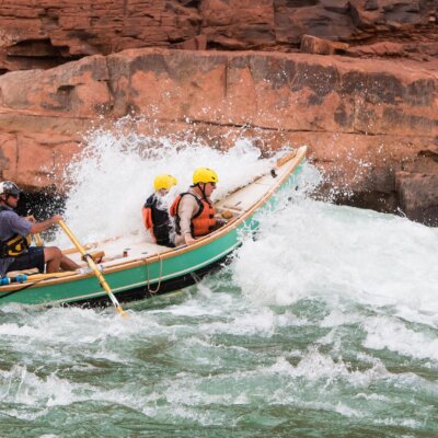
Photo courtesy of American Whitewater
Description
Take Out rapid marks the end of the Uinta River section, featuring a wide channel with scattered river rocks and potential shallow areas that require careful navigation. Paddlers should be prepared for potential boat-dragging or portage depending on water levels, and remain alert for submerged obstacles near the river's terminus.
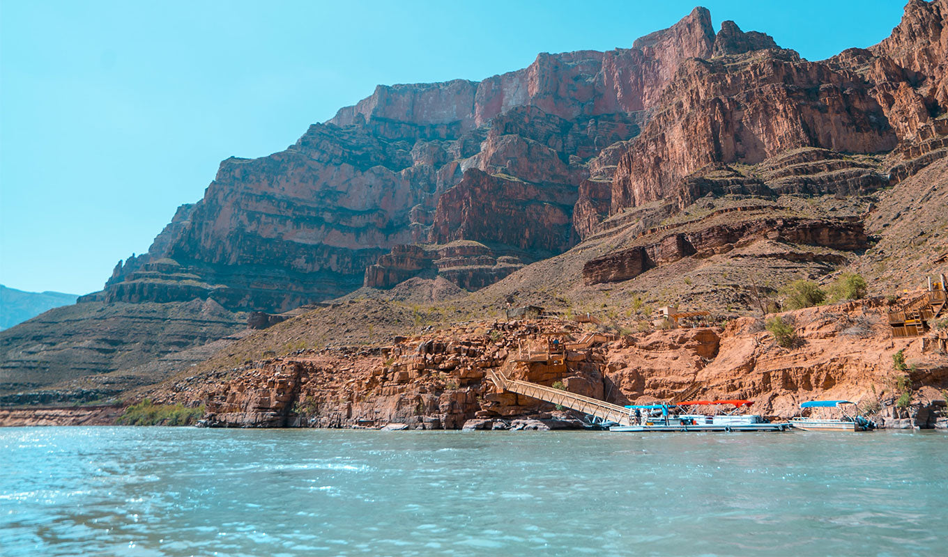
Location
Other Rapids on This Run (1)
View Full Run
01. Uinta Valley Campground to Power Plant
Uinta
I-III
8.5 mi
Current Conditions
5-Day Forecast
Whitewater data from
American Whitewater
American Whitewater