Take-out
WY
Take Out
Clear Creek - 1- confluence of Nth. & Mid. Forks to Moiser Gulch Picnic area (WY)
Gauge Conditions
Runnable: ? – ? CFS
Approximate - nearest available gauge. Use as general reference only.
Data from American Whitewater & USGS
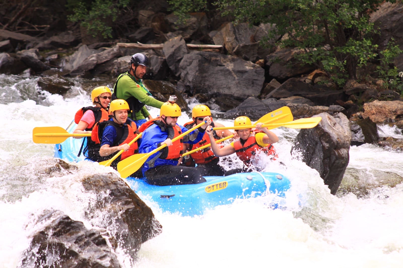
Photo
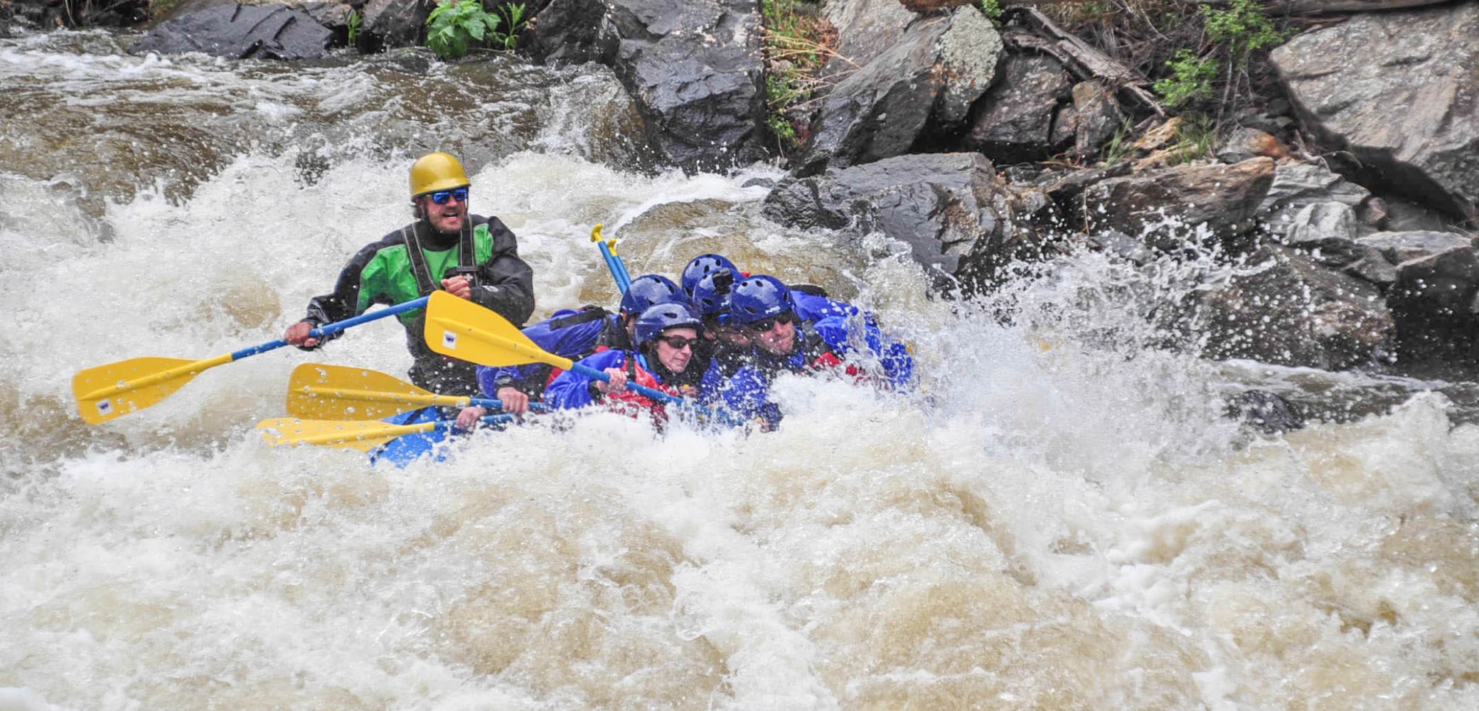
Photo courtesy of American Whitewater
Description
Take Out rapid marks the end of the run at the Moiser Gulch Picnic area, signaling the conclusion of the Clear Creek section. While specific details are limited, paddlers should be prepared for potential takeout logistics and potential hydraulic features near the exit point.
Location
Other Rapids on This Run (1)
View Full Run
1- confluence of Nth. & Mid. Forks to Moiser Gulch Picnic area
Clear Creek
IV-V
5.2 mi
Current Conditions
5-Day Forecast
Whitewater data from
American Whitewater
American Whitewater