Gauge Conditions
Runnable: ? – ? CFS
Approximate - nearest available gauge. Use as general reference only.
Data from American Whitewater & USGS
Photo

Photo courtesy of American Whitewater
Description
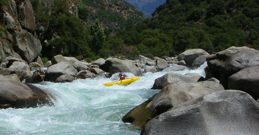
Take Out rapid marks the end of this stretch of the Kings River, presenting a relatively straightforward exit point for boaters. While not particularly technical, paddlers should be aware of potential debris and shifting riverbed conditions that can create unexpected obstacles during different water levels. Careful boat positioning and awareness of surrounding terrain are key when navigating this final rapid of the section.
Location
Other Rapids on This Run (1)
View Full Run
1) Dripping Springs to Hwy 74 (11.5 miles)
Kings
III+
11.7 mi
Current Conditions
5-Day Forecast
Whitewater data from
American Whitewater
American Whitewater