Gauge Conditions
Runnable: ? – ? CFS
Approximate - nearest available gauge. Use as general reference only.
Data from American Whitewater & USGS
Photo

Photo courtesy of American Whitewater
Description
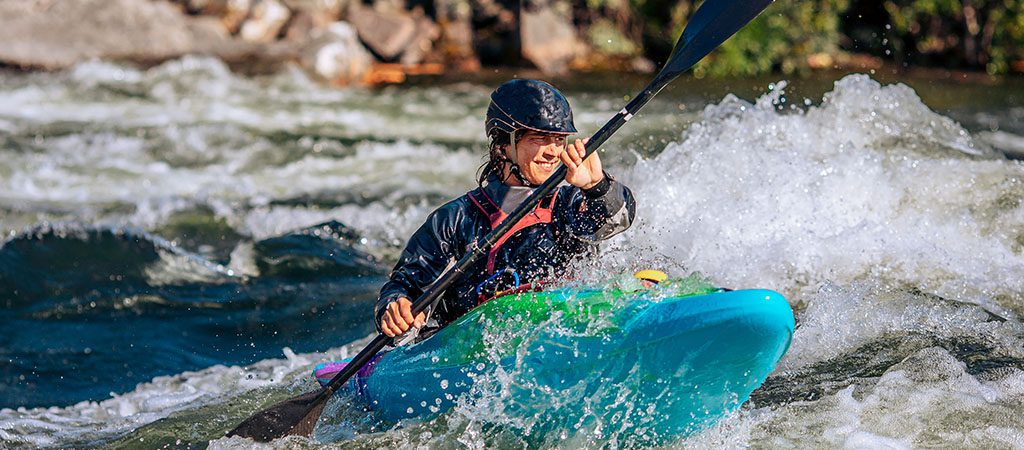
Take Out is the final rapid on this section, marking the end of the run where paddlers prepare to exit the river. While details are limited, the rapid likely involves navigating through the takeout area, which may include potential obstacles or required maneuvering to safely reach the exit point.
Location
Other Rapids on This Run (1)
View Full Run
1. GA Route 52 to Lower Cartecay Road
Cartecay
I-II
13.4 mi
Current Conditions
5-Day Forecast
Whitewater data from
American Whitewater
American Whitewater