Gauge Conditions
Runnable: ? – ? CFS
Approximate - nearest available gauge. Use as general reference only.
Data from American Whitewater & USGS
CDEC Flow Data California
Data from California Data Exchange Center (CDEC)
Photo
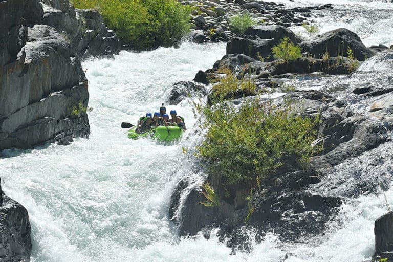
Photo courtesy of American Whitewater
Description
Take Out rapid marks the end of this challenging Cottonwood Creek run, situated just before the Platina Road bridge with a complex boulder garden that demands precise maneuvering between large, irregularly placed rocks. Paddlers must carefully navigate the tight channel, which can develop unpredictable hydraulics at different water levels and requires advanced boat control to avoid potential pin spots and undercut rocks.
Location
Other Rapids on This Run (1)

View Full Run
1) Knob Gulch confluence to Platina Road
Cottonwood Creek, Middle Fork
IV
8.1 mi
Current Conditions
5-Day Forecast
Whitewater data from
American Whitewater
American Whitewater