Gauge Conditions
Data from American Whitewater & USGS
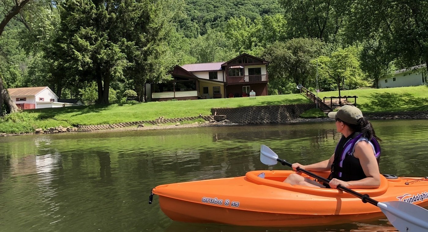
Photo
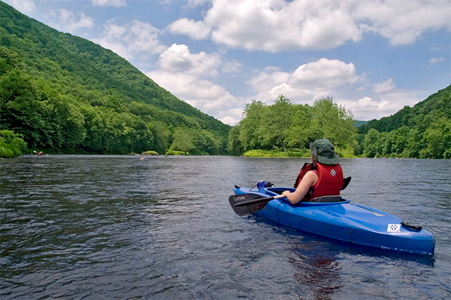
Photo courtesy of American Whitewater
Description
Take Out is marked by the presence of Whipkey Dam, which creates a critical hazard for paddlers and requires a mandatory portage. Paddlers must carefully exit the river before reaching the dam to avoid the dangerous hydraulic and potential entrapment zones. This location demands careful scouting and strict adherence to river safety protocols.
Location
Other Rapids on This Run (1)
View Full Run
1. Laurel Hill State Park to Whipkey Dam
Laurel Hill Creek
I-II
8.5 mi
Current Conditions
5-Day Forecast
Whitewater data from
American Whitewater
American Whitewater