Gauge Conditions
Runnable: 500.0 – 20,000.0 CFS
Based on the flows listed for Section 2
Data from American Whitewater & USGS
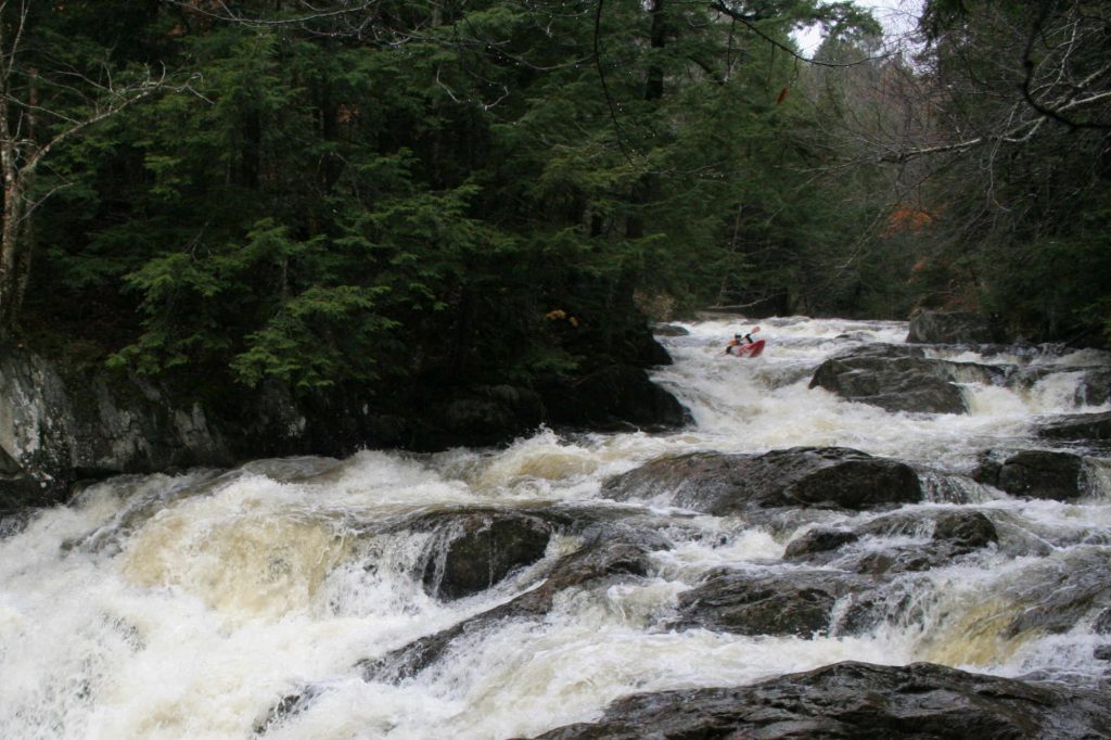
Photo

Photo courtesy of American Whitewater
Description
Take Out rapid marks the conclusion of the Marshfield to Montpelier section, serving as a critical transition zone where paddlers must carefully navigate through potential debris and shifting water dynamics. While specific difficulty is unrated, paddlers should be alert for potential hydraulic features and potential shore-based obstacles that could complicate the exit point.
Location
Other Rapids on This Run (1)
View Full Run
1.) Marshfield to Montpelier
Winooski River
II-III
32.7 mi
Current Conditions
5-Day Forecast
Whitewater data from
American Whitewater
American Whitewater