Gauge Conditions
Runnable: ? – ? CFS
Approximate - nearest available gauge. Use as general reference only.
Data from American Whitewater & USGS
Photo
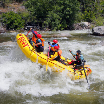
Photo courtesy of American Whitewater
Description
Take Out marks the end of this upper Calapooia River run, typically signaling a transition from forest access to more developed areas. While specifics are limited, paddlers should be prepared for potential debris, tight maneuvering, and an abrupt transition that requires careful boat positioning and awareness of potential take-out hazards.
Location
Other Rapids on This Run (1)
View Full Run
1. National Forest Boundary to end of pavement
Calapooia
II-III(IV)
17.5 mi
Current Conditions
5-Day Forecast
Whitewater data from
American Whitewater
American Whitewater