Gauge Conditions
Data from American Whitewater & USGS
Photo

Photo courtesy of American Whitewater
Description
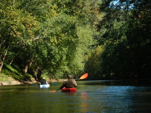
Take Out rapid on the Little Coal River presents a technical descent with multiple boulder-choked channels requiring precise navigation. Paddlers must carefully choose their line to avoid potential pin spots and hidden underwater obstructions, with the primary route typically hugging the river right side where a clearer channel exists. Given the remote location and potential for shifting riverbed conditions, scouting before running is strongly recommended.
Location
Other Rapids on This Run (1)
View Full Run
1. Rocklick to Van
Little Coal River, Pond Fork
I-III
13.8 mi
Current Conditions
5-Day Forecast
Whitewater data from
American Whitewater
American Whitewater