Gauge Conditions
Data from American Whitewater & USGS
Photo

Photo courtesy of American Whitewater
Description
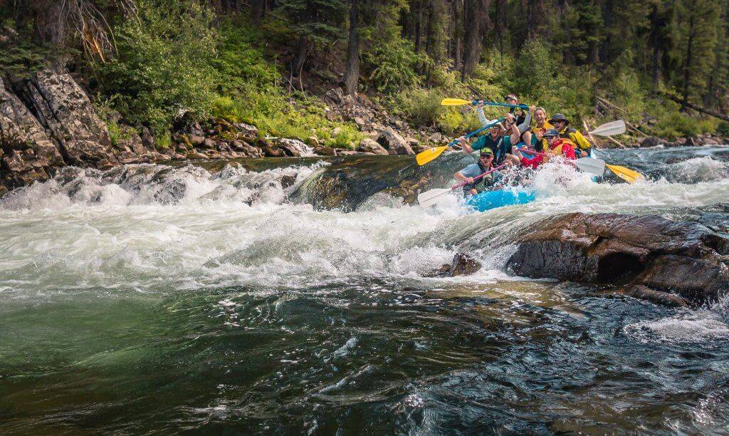
Take Out rapid marks the end of the Saline River whitewater section, characterized by a moderate gradient and scattered rock gardens that require precise boat positioning. Paddlers should be prepared for potential shallow spots and submerged obstacles, particularly during low water conditions, and scout the line carefully to avoid pinning or broaching.
Location
Other Rapids on This Run (1)
View Full Run
1) Shady Lake to Hwy 84 (4.5 miles)
Saline (Howard County)
II-III
4.7 mi
Current Conditions
5-Day Forecast
Whitewater data from
American Whitewater
American Whitewater