Gauge Conditions
Runnable: ? – ? CFS
Approximate - nearest available gauge. Use as general reference only.
Data from American Whitewater & USGS
Photo

Photo courtesy of American Whitewater
Description
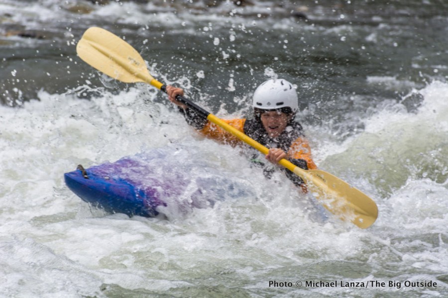
Take Out is a transition point marking the end of a challenging upper section of the South Fork Coquihalle, requiring careful navigation through potential debris and tight technical moves. While specific details are limited, paddlers should anticipate potential hazards typical of a remote river descent and prepare for potential portage or scouting requirements.
Location
Other Rapids on This Run (1)
View Full Run
1. Upper Coquille River Falls to Coquille River Falls
Coquille, S. Fork
V+
1.3 mi
Current Conditions
5-Day Forecast
Whitewater data from
American Whitewater
American Whitewater