Gauge Conditions
Runnable: 250.0 – 2,000.0 CFS
Actual Range unkown to AW at this time. 1100 cfs is a known good flow, 270 is also a known good flow.
Data from American Whitewater & USGS
Photo
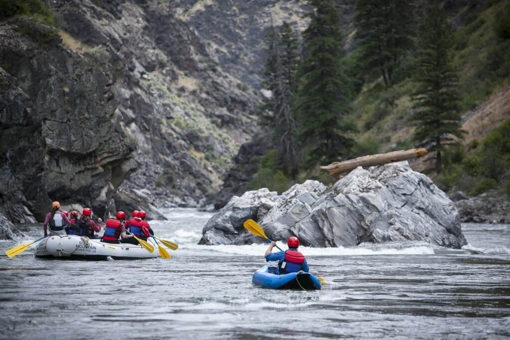
Photo courtesy of American Whitewater
Description
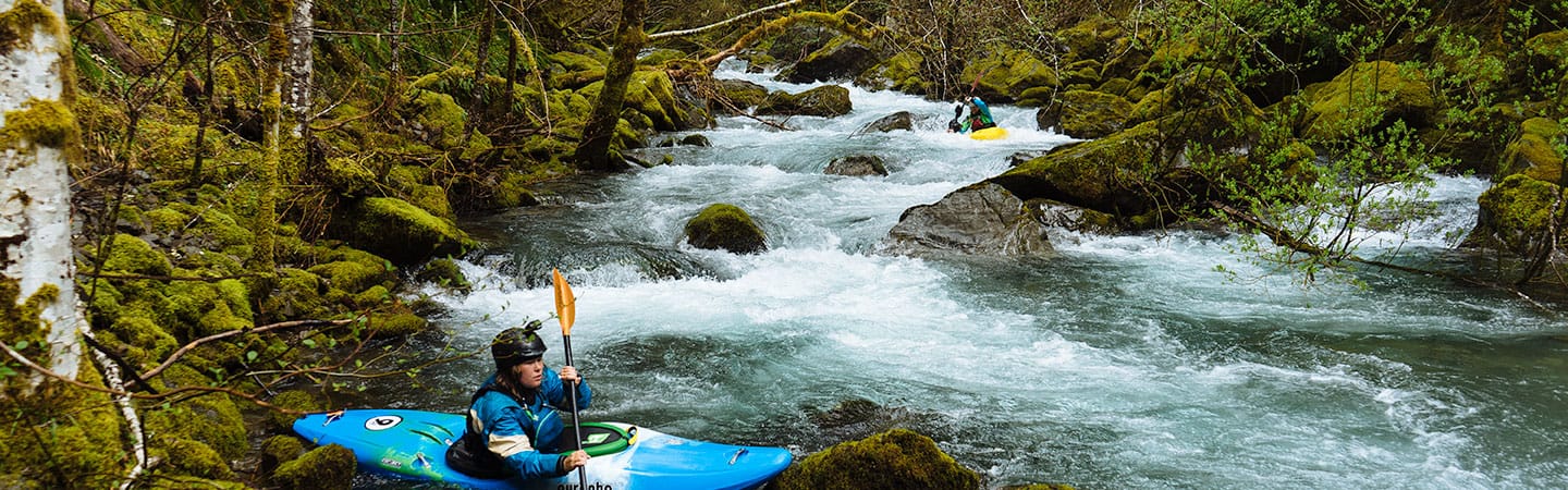
Take Out marks the end of the Upper Smith Creek section, requiring careful navigation through a congested boulder field with multiple potential pin and entrapment hazards. Paddlers must precisely thread between large mid-channel rocks and manage a tight exit line that becomes increasingly technical at lower water levels, with a particular need to avoid the undercut rock formation on river right.
Location
Other Rapids on This Run (1)
View Full Run
1. Upper
Smith Creek
III-IV+(V)
3.6 mi
Current Conditions
5-Day Forecast
Whitewater data from
American Whitewater
American Whitewater