Gauge Conditions
Runnable: 2.1 – 5.7 FT
Flow range for best boatability uncertain. Please help your fellow boaters with a comment or report.
Data from American Whitewater & USGS
Photo
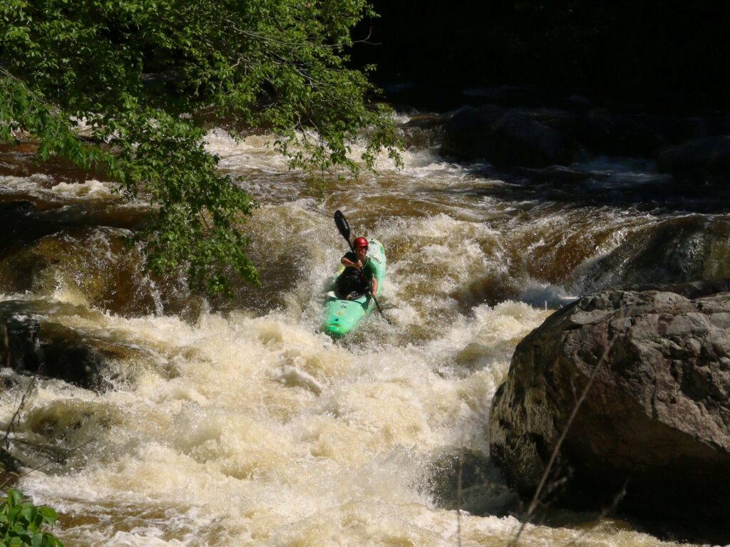
Photo courtesy of American Whitewater
Description
Take Out is the terminus of the upper Wells River section, marking the end of a technical stretch with potentially shallow and rocky conditions. Paddlers should be prepared for a potential exit point that may require careful navigation through tight spaces and potential underwater obstacles. Local knowledge and careful scouting are recommended due to variable water levels and potential debris.
Location
Other Rapids on This Run (1)

View Full Run
1.) Upper
Wells River
I-III
10.3 mi
Current Conditions
5-Day Forecast
Whitewater data from
American Whitewater
American Whitewater