Gauge Conditions
Runnable: 250.0 – 2,600.0 CFS
functional and my personal open canoe minimum for the lower segment is 200 cfs
Data from American Whitewater & USGS
Photo
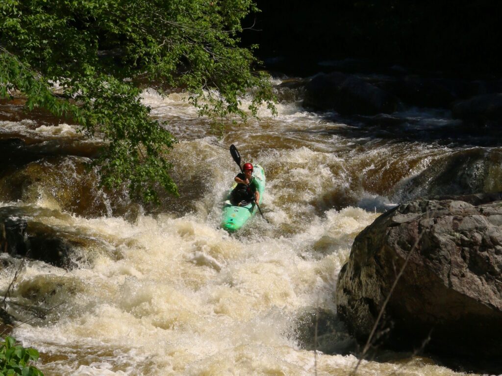
Photo courtesy of American Whitewater
Description
Take Out rapid marks the end of the Cedar Creek run, featuring a straightforward exit point with minimal technical challenges. Paddlers should be aware of potential debris and shifting water levels near the VA Route 55 bridge, which can create unpredictable currents during different flow conditions. Scout the takeout carefully to ensure a safe exit and avoid potential hazards near the shore.
Location
Other Rapids on This Run (1)
View Full Run
1. VA 600 to VA Route 55
Cedar Creek
II
12.0 mi
Current Conditions
5-Day Forecast
Whitewater data from
American Whitewater
American Whitewater