Gauge Conditions
Data from American Whitewater & USGS
Photo
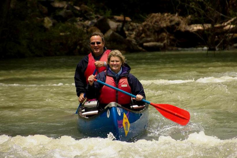
Photo courtesy of American Whitewater
Description
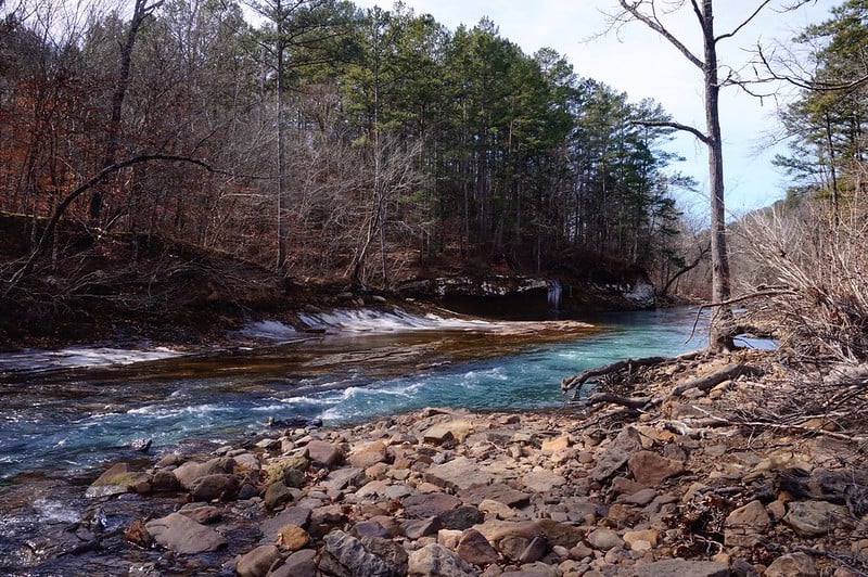
Take Out marks the conclusion of the Mulberry River run at Redding Campground, serving as a critical exit point for boaters completing the 12-mile Wolf Pen Recreation Area section. While not characterized by significant technical challenges, paddlers should be aware of potential debris and shifting water levels that can impact navigation during takeout. Careful approach and situational awareness are recommended when exiting the river at this location.
Location
Other Rapids on This Run (1)
View Full Run
1) Wolf Pen Recreation Area to Redding Campground (12 miles)
Mulberry
II+
12.1 mi
Current Conditions
5-Day Forecast
Whitewater data from
American Whitewater
American Whitewater