Gauge Conditions
Runnable: ? – ? CFS
Approximate - nearest available gauge. Use as general reference only.
Data from American Whitewater & USGS
Photo

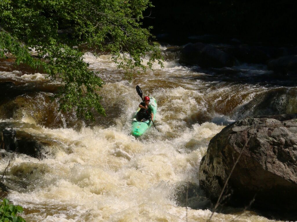
Photo courtesy of American Whitewater
Description
Take Out rapid presents a straightforward descent with minimal technical challenges, likely serving as an exit point for boaters completing this river section. While specific hazards are not clearly documented, paddlers should maintain standard situational awareness and scout for potential obstacles or changes in river conditions during approach and navigation.
Location
Other Rapids on This Run (1)
View Full Run
2. Amherst (U.S. 29) to Tye R.
Buffalo River (Tye trib.)
I-III
13.3 mi
Current Conditions
5-Day Forecast
Whitewater data from
American Whitewater
American Whitewater