Gauge Conditions
Data from American Whitewater & USGS
Photo
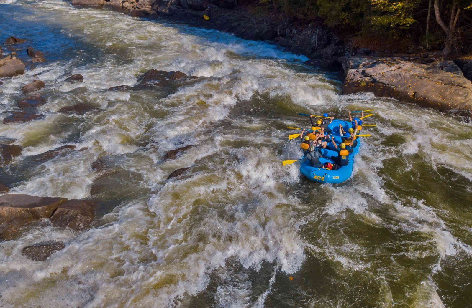
Photo courtesy of American Whitewater
Description
Take Out is the final rapid in the Upper Gauley's second section, marking the transition point before the river's terrain changes. While specifics of this particular rapid are limited, the Gauley's notorious rapids typically feature complex hydraulics, powerful water volumes, and technical navigation requiring precise line selection and skilled maneuvering. Paddlers should approach with caution and be prepared for potential challenging water conditions characteristic of West Virginia's demanding whitewater environment.
Location
Other Rapids on This Run (1)

View Full Run
2. Confluence with Turkey Fork to Bolair
Gauley
I-II
7.3 mi
Current Conditions
5-Day Forecast
Whitewater data from
American Whitewater
American Whitewater