Take-out
OR
Take Out
Willamette, Middle Fork - 2) Dexter Dam to confluence with Coast Fork Willamette (OR)
Gauge Conditions
Data from American Whitewater & USGS
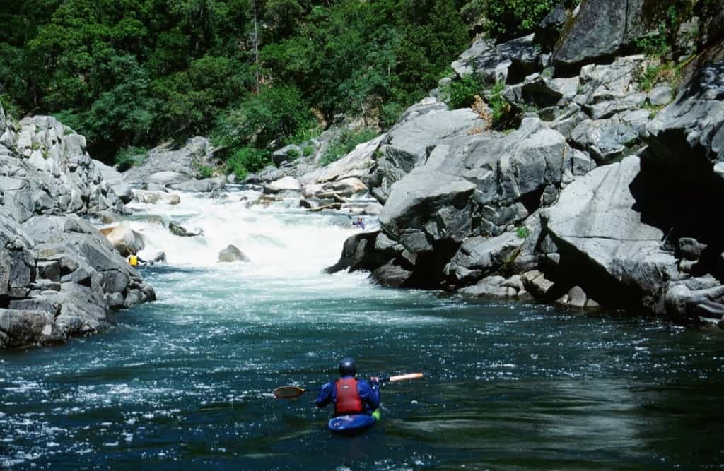
Photo
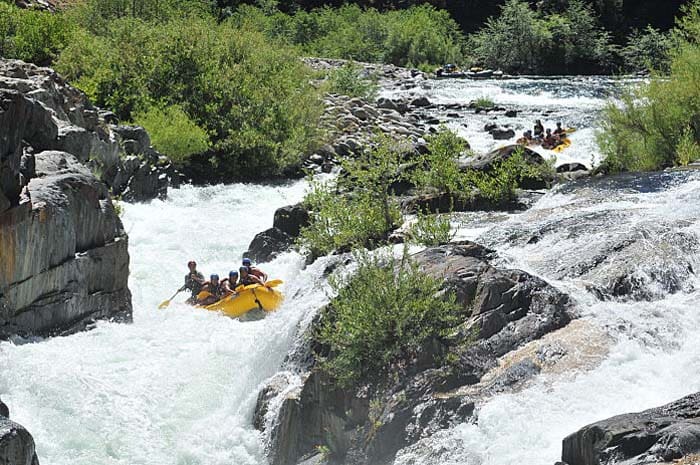
Photo courtesy of American Whitewater
Description
Take Out marks the terminus of a significant river segment, signaling the end of the paddling run near the confluence with the Coast Fork Willamette. While specific details about the rapid's technical features are limited, paddlers should be prepared for potential takeout logistics and potential river conditions at this transitional point. Careful scouting and awareness of local river dynamics are recommended when navigating this section.
Location
Other Rapids on This Run (1)
View Full Run
2) Dexter Dam to confluence with Coast Fork Willamette
Willamette, Middle Fork
II
16.5 mi
Current Conditions
5-Day Forecast
Whitewater data from
American Whitewater
American Whitewater