Take-out
AR
Take Out
Saline (Howard County) - 2) Dierks Lake to Hwy 70 (5.6 miles or 0.75 mile loop) (AR)
Gauge Conditions
Data from American Whitewater & USGS
Photo

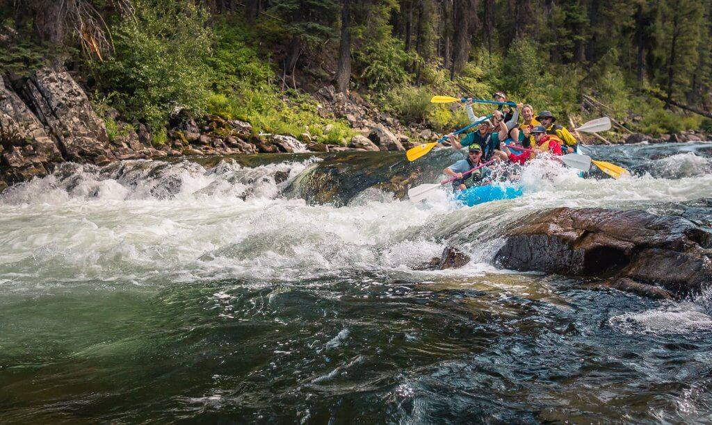
Photo courtesy of American Whitewater
Description
Take Out is a transition point marking the end of the Saline River whitewater section, characterized by potential shifting debris and potential shallow areas that require careful navigation. Paddlers should be prepared for potential obstacles and assess water levels and flow conditions before attempting to exit the river at this location.
Location
Other Rapids on This Run (1)
View Full Run
2) Dierks Lake to Hwy 70 (5.6 miles or 0.75 mile loop)
Saline (Howard County)
I-II
5.7 mi
Current Conditions
5-Day Forecast
Whitewater data from
American Whitewater
American Whitewater