Gauge Conditions
Runnable: ? – ? CFS
Approximate - nearest available gauge. Use as general reference only.
Data from American Whitewater & USGS
Photo
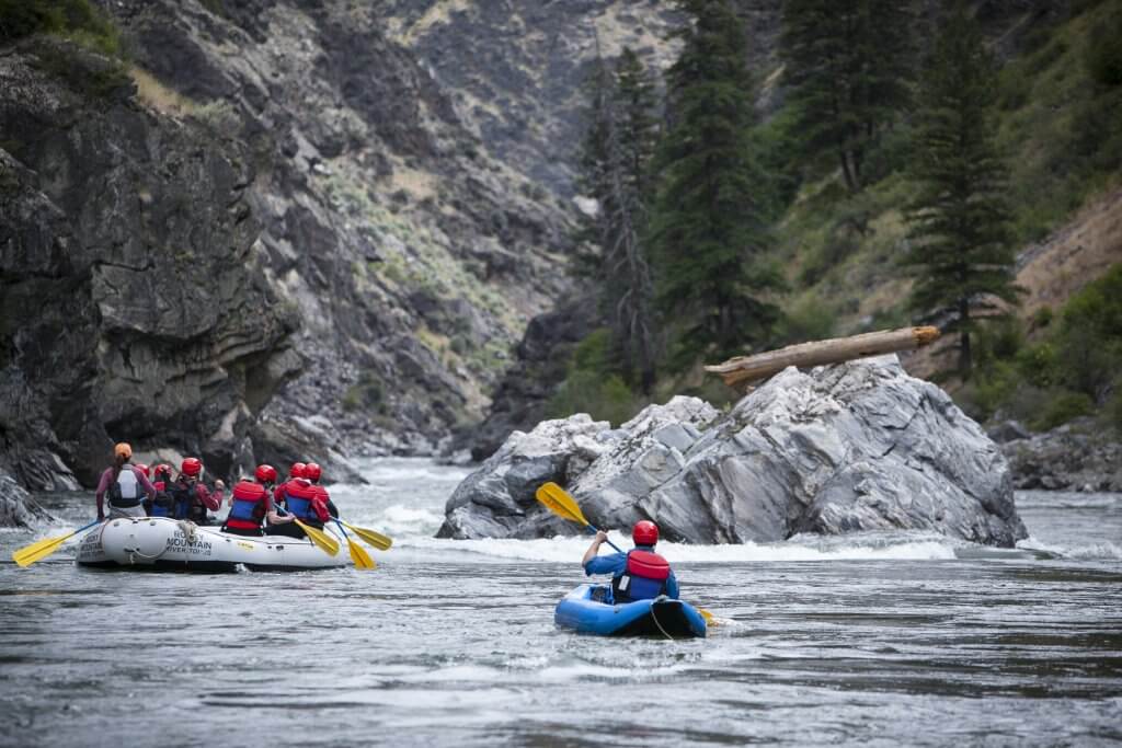
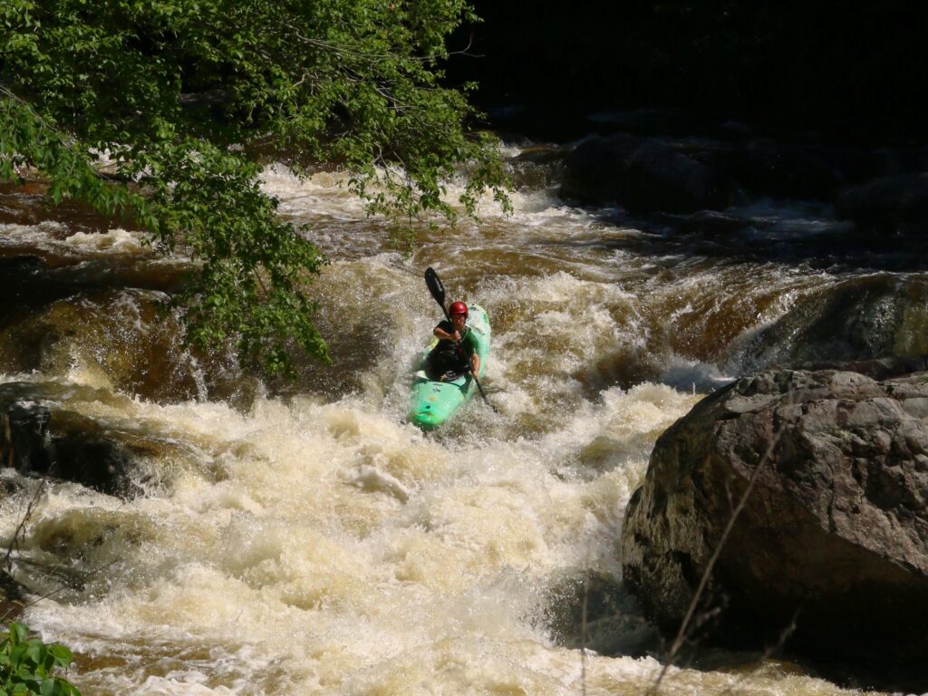
Photo courtesy of American Whitewater
Description
Take Out rapid marks the end of the Mill Creek run, signaling paddlers are approaching the takeout point at Highway 18. While detailed information is limited, boaters should be prepared for potential end-of-run obstacles and maintain situational awareness as they near the exit point. Always scout and assess current conditions before running the rapid.
Location
Other Rapids on This Run (1)
View Full Run
2. Hwy 22 to Hwy 18
Mill Creek
I-II
6.4 mi
Current Conditions
5-Day Forecast
Whitewater data from
American Whitewater
American Whitewater