Take-out
WV
Take Out
Greenbrier River, East Fork - 2. Island Campground to confluence with the West Fork at Durbin (WV)
Gauge Conditions
Data from American Whitewater & USGS
Photo
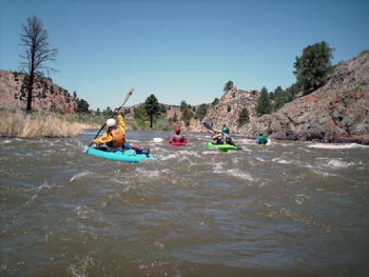
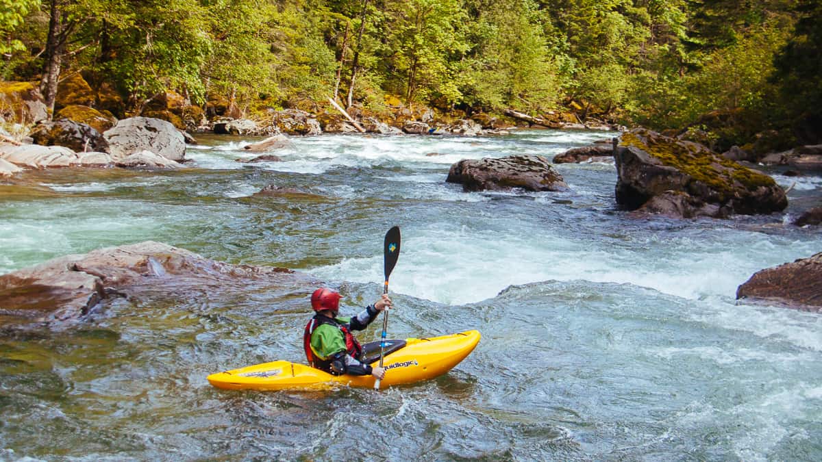
Photo courtesy of American Whitewater
Description
The Take Out rapid marks the end of this river section, signaling the confluence with the West Fork at Durbin. While difficulty is unrated, paddlers should be prepared for potential takeout challenges including potential shallow water, rocky banks, or swift currents near the confluence zone.
Location
Other Rapids on This Run (1)
View Full Run
2. Island Campground to confluence with the West Fork at Durbin
Greenbrier River, East Fork
I-II
9.0 mi
Current Conditions
5-Day Forecast
Whitewater data from
American Whitewater
American Whitewater