Gauge Conditions
Runnable: 450.0 – 40,000.0 CFS
Upper limit for best boatability uncertain. Please help your fellow boaters with a comment or report.
Data from American Whitewater & USGS
Photo

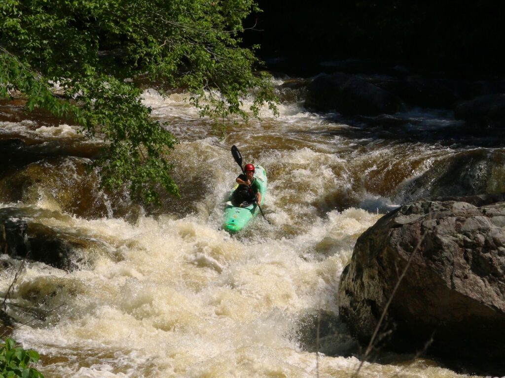
Photo courtesy of American Whitewater
Description
Take Out rapid represents the exit point of the Lower White River section, featuring a straightforward but technical downstream flow with potential scattered boulder obstacles requiring precise maneuvering. Paddlers should be prepared to navigate a moderate gradient with potential Class II-III characteristics, maintaining situational awareness of potential mid-stream rock formations and potential lateral currents near the termination point of this river section.
Location
Other Rapids on This Run (1)
View Full Run
2.) Lower
White River
I-II(III)
14.9 mi
Current Conditions
5-Day Forecast
Whitewater data from
American Whitewater
American Whitewater