Gauge Conditions
Data from American Whitewater & USGS
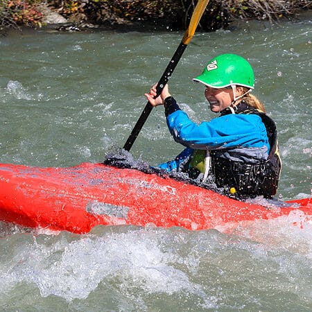
Photo
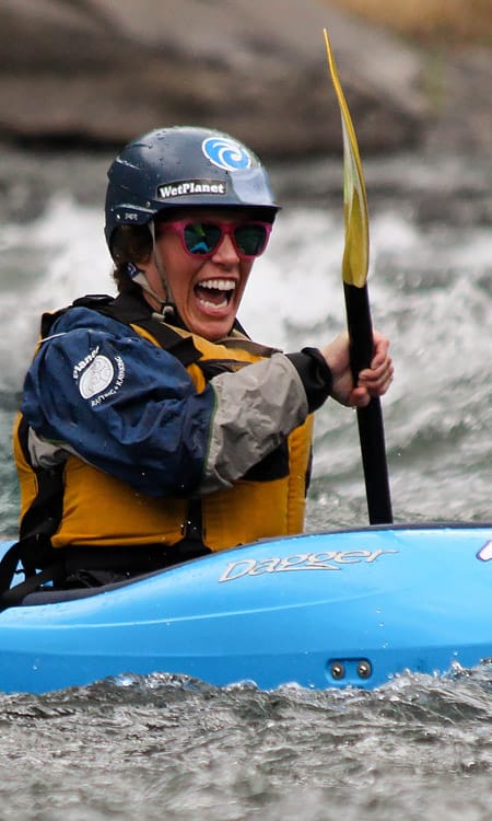
Photo courtesy of American Whitewater
Description
The Take Out rapid marks the conclusion of the Palouse River run, transitioning paddlers from whitewater to the takeout at Lyons Ferry State Park. While specific technical details are limited, boaters should be prepared for potential end-of-run navigation challenges and remain alert for any river conditions or obstacles near the exit point.
Location
Other Rapids on This Run (1)
View Full Run
2. Palouse Falls State Park to Lyons Ferry State Park
Palouse River
II
5.9 mi
Current Conditions
5-Day Forecast
Whitewater data from
American Whitewater
American Whitewater