Gauge Conditions
Runnable: ? – ? CFS
Approximate - nearest available gauge. Use as general reference only.
Data from American Whitewater & USGS
CDEC Flow Data California
Data from California Data Exchange Center (CDEC)
Photo
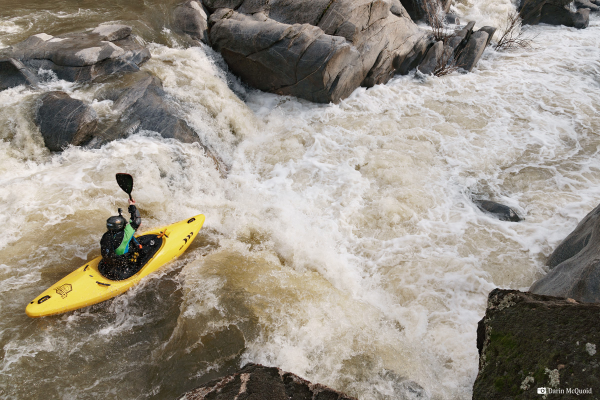
Photo courtesy of American Whitewater
Description
Take Out rapid marks the end of this river section, typically signaling the conclusion of a challenging run with potential for complex hydraulics and terrain transitions. While specific details are limited, paddlers should approach with caution and be prepared for potential obstacles or route-finding challenges near the takeout point. Standard river safety protocols and careful scouting are recommended before navigating this section.
Location
Other Rapids on This Run (1)

View Full Run
2) Road 600 to Road 415
Fresno
IV-V(V+)
11.1 mi
Current Conditions
5-Day Forecast
Whitewater data from
American Whitewater
American Whitewater