Gauge Conditions
Runnable: 1,000.0 – 20,000.0 CFS
Flow range for best boatability uncertain. Please help your fellow boaters with a comment or report.
Data from American Whitewater & USGS
Photo
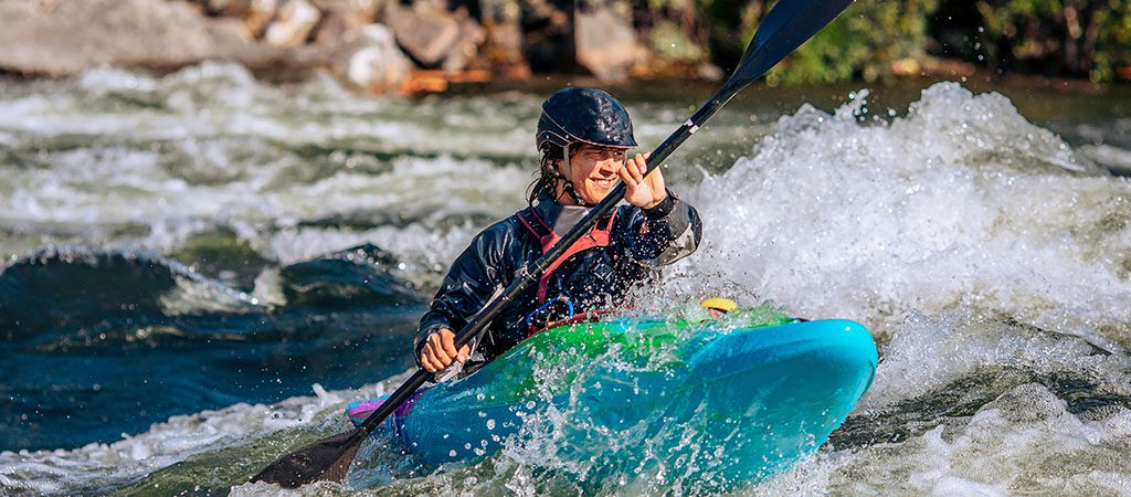
Photo courtesy of American Whitewater
Description
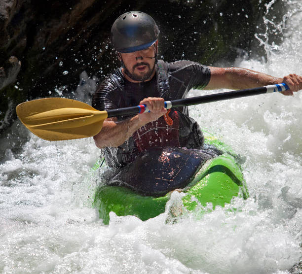
Take Out marks the terminal rapid of this Yahoola Creek section, where paddlers must carefully navigate the transition from river to takeout point, typically involving a tricky approach and potential shallow or rocky exit conditions. Precise boat control and awareness of potential underwater obstacles are critical when exiting the river at this location.
Location
Other Rapids on This Run (1)
View Full Run
2. US 19 to Chestatee River
Yahoola Creek
I-II(III)
6.6 mi
Current Conditions
5-Day Forecast
Whitewater data from
American Whitewater
American Whitewater