Gauge Conditions
Data from American Whitewater & USGS
Photo
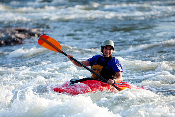
Photo courtesy of American Whitewater
Description
Take Out marks the end of the Yaak Falls section, featuring a complex exit point with potential hazardous obstacles near the confluence with the Kootenai River. Paddlers should carefully scout the rapid's transition zone, paying close attention to potential debris, shifting currents, and the surrounding terrain when preparing to exit the river.
Location
Other Rapids on This Run (1)

View Full Run
2. Yaak Falls to Kootenai R.
Yaak
IV-V
9.1 mi
Current Conditions
5-Day Forecast
Whitewater data from
American Whitewater
American Whitewater