Gauge Conditions
Data from American Whitewater & USGS
Photo
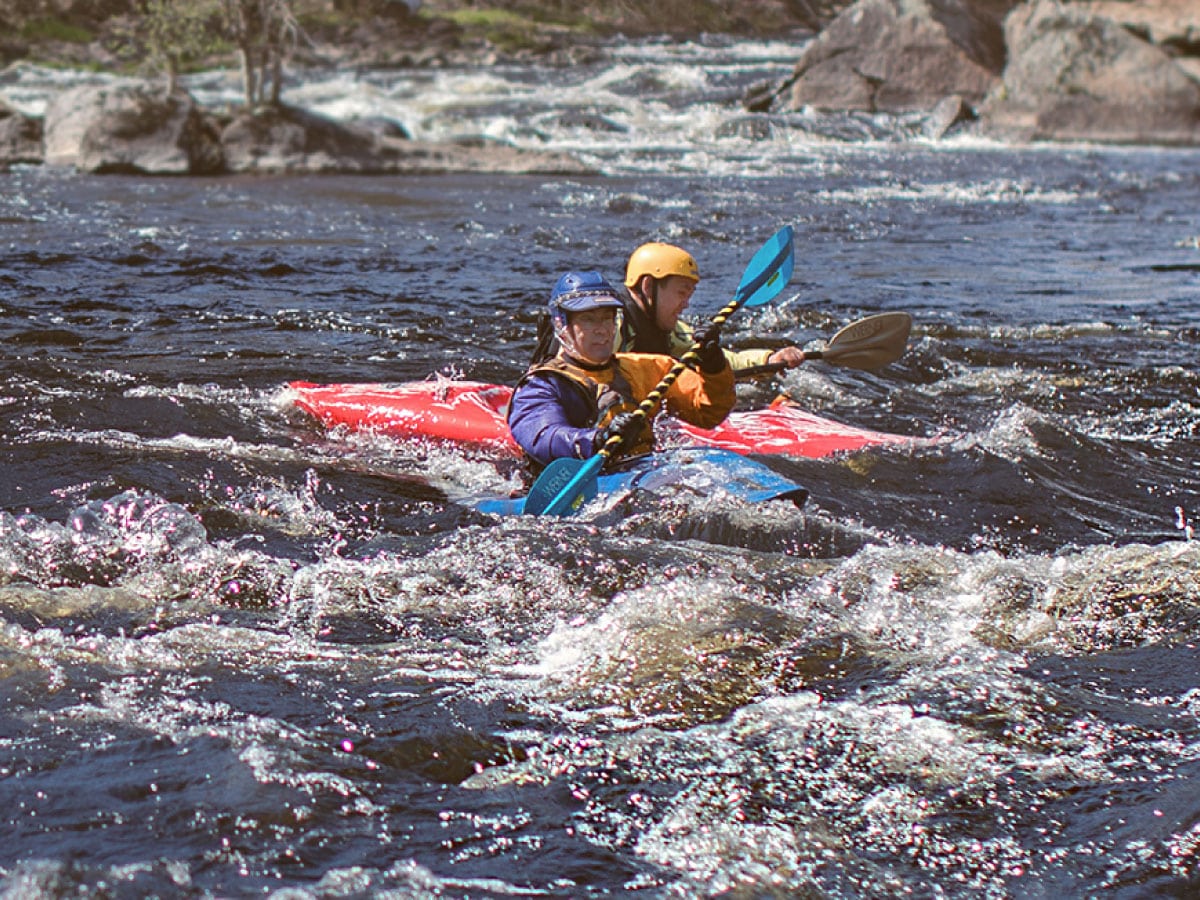
Photo courtesy of American Whitewater
Description
Take Out is a non-rated rapid on the Walker Brook with minimal technical challenges and a straightforward downstream route. The rapid appears to be primarily used as an exit point for boaters, likely marking the end of a paddling section with potential takeout infrastructure or easy bank access. Paddlers should scout the area for potential hazards and confirm current water conditions before attempting this section.
Location
Other Rapids on This Run (1)

View Full Run
3.5 miles West of Chester on Rt. 20 to Chester
Walker Brook
IV
0.8 mi
Current Conditions
5-Day Forecast
Whitewater data from
American Whitewater
American Whitewater