Gauge Conditions
Data from American Whitewater & USGS
Photo
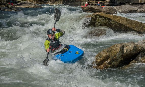
Photo courtesy of American Whitewater
Description
Take Out marks the final rapid before the confluence with the Tygart River, characterized by a broad, shallow rock garden that requires careful route selection. Paddlers must navigate a series of exposed boulders and small ledges, with potential for pin hazards and limited channels during low water conditions. Careful scouting and precise boat positioning are critical to safely negotiate this technical exit point from the river section.
Location
Other Rapids on This Run (1)
View Full Run
3. Audra State Park to Tygart River Confluence
Middle Fork
III-IV
2.9 mi
Current Conditions
5-Day Forecast
Whitewater data from
American Whitewater
American Whitewater