Gauge Conditions
Data from American Whitewater & USGS
Photo
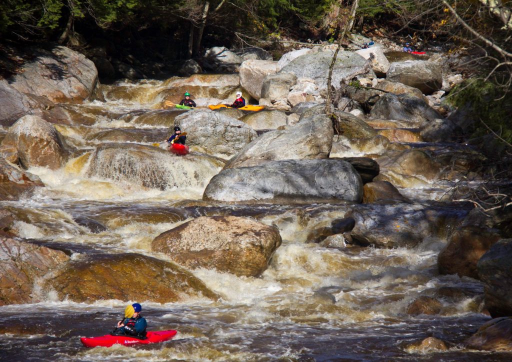
Photo courtesy of American Whitewater
Description
Take Out marks the end of the Chesterfield Gorge section, signaling the approach to Knightsville Dam with potential swirling currents and debris accumulation. Paddlers should be alert for potential obstacles and prepare for takeout logistics, maintaining situational awareness as the river transitions from the gorge environment to the dam area.
Location
Other Rapids on This Run (1)

View Full Run
3) Chesterfield Gorge to Knightsville Dam
Westfield, N. Branch
I-III
9.1 mi
Current Conditions
5-Day Forecast
Whitewater data from
American Whitewater
American Whitewater