Gauge Conditions
Data from American Whitewater & USGS
Photo
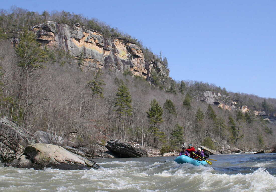
Photo courtesy of American Whitewater
Description
Take Out rapid presents a straightforward navigational challenge near the end of the Dry Creek to Sundial section, marked by scattered boulder clusters that require precise maneuvering. Paddlers should be prepared to thread carefully between rock formations and anticipate potential pinning hazards, especially at lower water levels.
Location
Other Rapids on This Run (1)
View Full Run
3: Dry Creek to Sundial (Pettry Bottom)
Big Coal River, Marsh Fork
III-IV
4.2 mi
Current Conditions
5-Day Forecast
Whitewater data from
American Whitewater
American Whitewater