Gauge Conditions
Data from American Whitewater & USGS
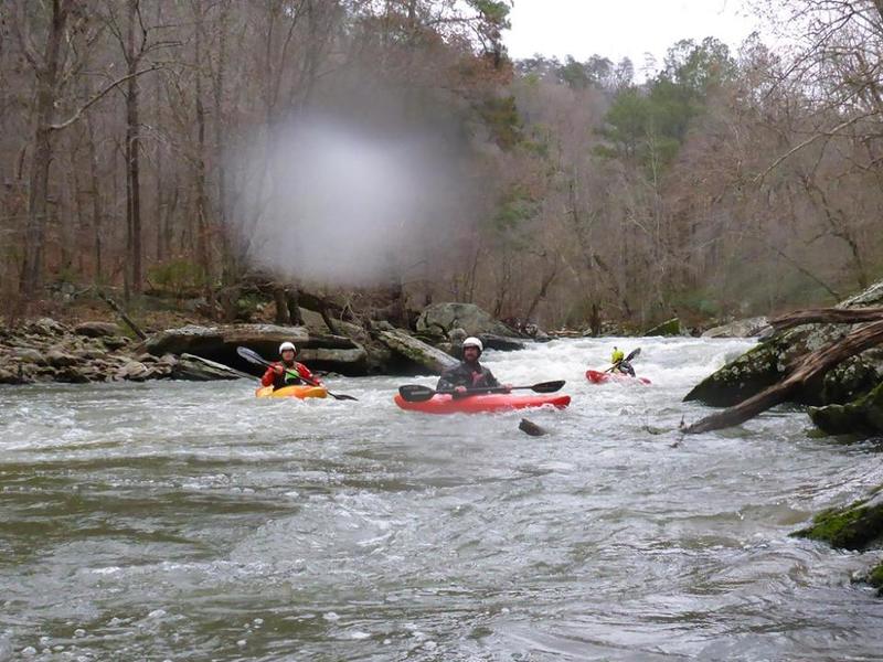
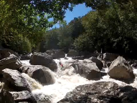
Photo
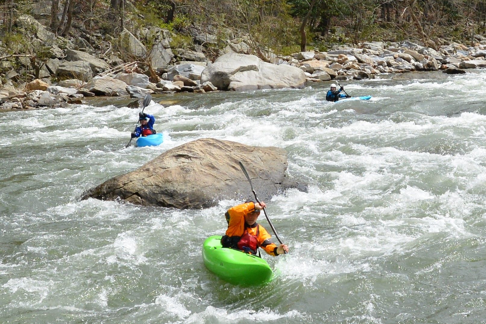
Photo courtesy of American Whitewater
Description
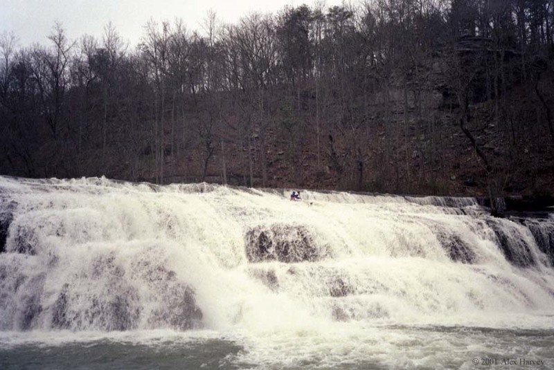
Take Out marks the terminus of the High Falls section where paddlers transition from whitewater to the flat waters of Lake Guntersville. While details on specific technical features are limited, this rapid likely involves a transition zone where river current dissipates into the lake, potentially requiring careful navigation and boat control to manage changing water dynamics.
Location
Other Rapids on This Run (3)
View Full Run
3) High Falls to Lake Guntersville
Town Creek
II-III(V)
7.3 mi
Current Conditions
5-Day Forecast
Whitewater data from
American Whitewater
American Whitewater