Gauge Conditions
Runnable: ? – ? CFS
Approximate - nearest available gauge. Use as general reference only.
Data from American Whitewater & USGS
Photo
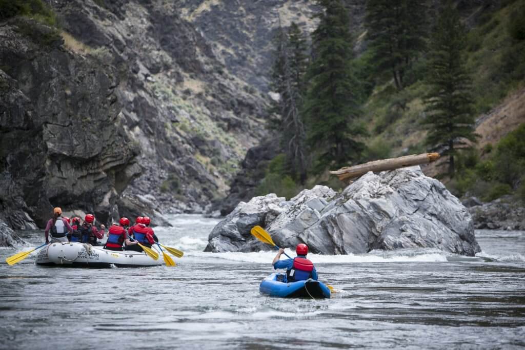
Photo courtesy of American Whitewater
Description
Take Out is a brief but important transition rapid marking the end of this Kenduskeag Stream section, characterized by scattered rocks and potential debris that require careful navigation. Paddlers should be prepared for a somewhat unpredictable descent with multiple potential routes, and be aware of potential shallow areas and potential strainers near the bank that could complicate passage.
Location
Other Rapids on This Run (1)

View Full Run
3) Kenduskeag to Rte. 15 (Six Mile Falls)
Kenduskeag Stream
II-III
11.2 mi
Current Conditions
5-Day Forecast
Whitewater data from
American Whitewater
American Whitewater