Gauge Conditions
Runnable: ? – ? CFS
Approximate - nearest available gauge. Use as general reference only.
Data from American Whitewater & USGS
CDEC Flow Data California
Data from California Data Exchange Center (CDEC)
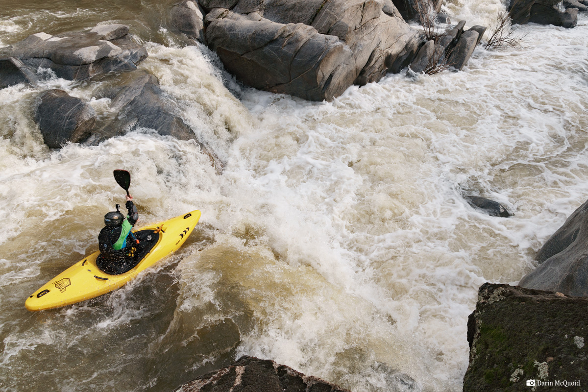
Photo

Photo courtesy of American Whitewater
Description
Take Out rapid serves as the terminus point for this river section, marking the end of the run near Lake Hensley's dam. While specifics are limited, paddlers should anticipate potential flat water transitions and be prepared for potential debris or hydraulic features near the takeout zone. Careful navigation and awareness of surrounding topography are recommended when approaching this section's conclusion.
Location
Other Rapids on This Run (1)
View Full Run
3) Road 415 to boat ramp near dam at Lake Hensley
Fresno
IV-V+
12.0 mi
Current Conditions
5-Day Forecast
Whitewater data from
American Whitewater
American Whitewater