Gauge Conditions
Runnable: ? – ? CFS
Approximate - nearest available gauge. Use as general reference only.
Data from American Whitewater & USGS
Photo
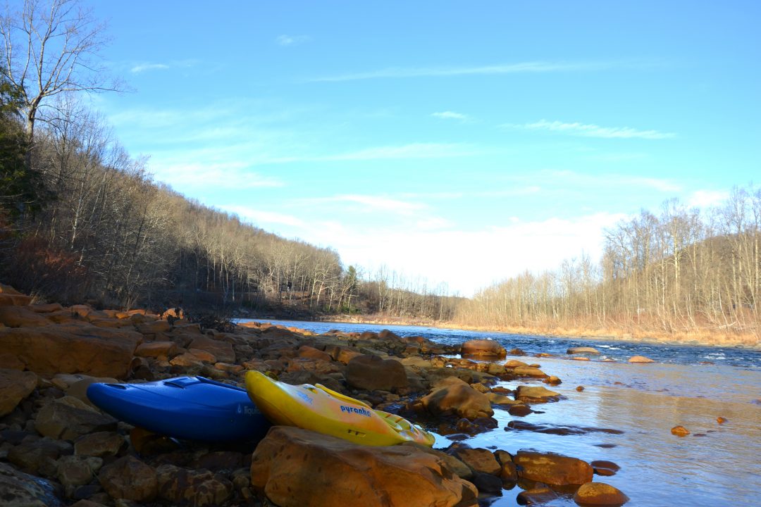
Photo courtesy of American Whitewater
Description
Take Out rapid marks the end of the Pedlar River run, featuring a technical exit with potential for pinning or strainers near the takeout point. Paddlers should carefully scout the final approach, watching for submerged rocks and potential debris that could complicate the exit from the river.
Location
Other Rapids on This Run (1)
View Full Run
3. Route 640 to Hwy 130
Pedlar
I(II)
6.6 mi
Current Conditions
5-Day Forecast
Whitewater data from
American Whitewater
American Whitewater