Gauge Conditions
Data from American Whitewater & USGS
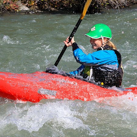
Photo
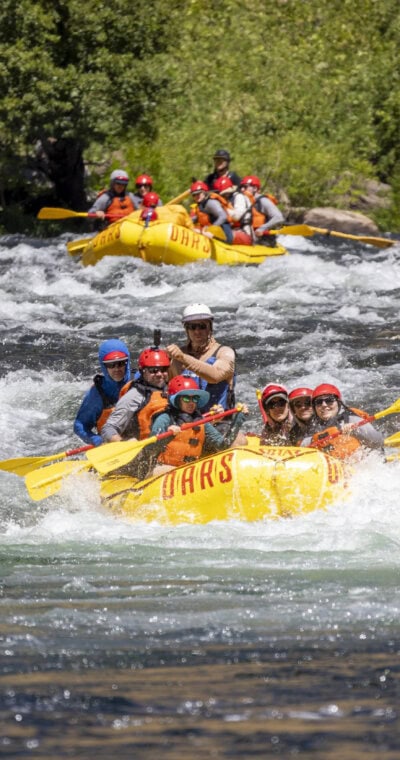
Photo courtesy of American Whitewater
Description
Take Out marks the end of the Entiat River run, where paddlers must carefully navigate a complex exit point with potential shallow rocks and debris. The rapid requires precise maneuvering to safely reach the takeout area, with shifting water levels potentially altering the approach and landing zones.
Location
Other Rapids on This Run (1)
View Full Run
4. Ardenvoir to Columbia River (Lower)
Entiat
II+
12.6 mi
Current Conditions
5-Day Forecast
Whitewater data from
American Whitewater
American Whitewater