Take-out
NC
Take Out
Pigeon, West Fork - 4. Route 215/1129 Junction to confluence with East Fork (NC)
Gauge Conditions
Data from American Whitewater & USGS
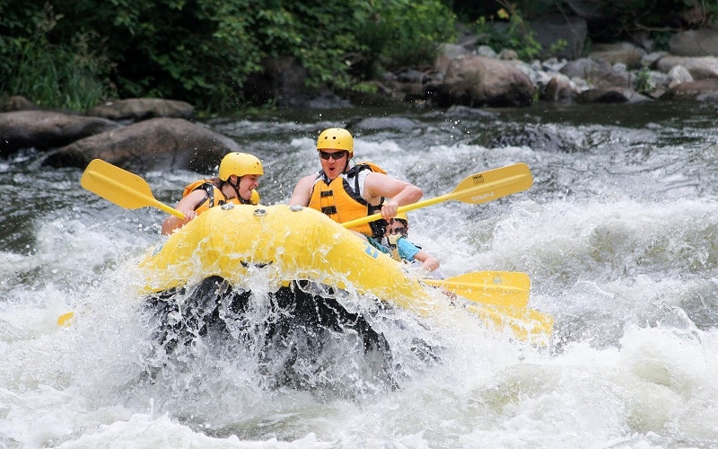
Photo

Photo courtesy of American Whitewater
Description
Take Out marks the end of this river section, featuring a complex series of ledge drops and boulder-strewn channels that require precise navigation. Paddlers should be prepared for tight technical lines between large mid-stream rocks and potential undercut hazards, with multiple potential routes that vary significantly at different water levels.
Location
Other Rapids on This Run (1)
View Full Run
4. Route 215/1129 Junction to confluence with East Fork
Pigeon, West Fork
II-III
7.0 mi
Current Conditions
5-Day Forecast
Whitewater data from
American Whitewater
American Whitewater