Gauge Conditions
Data from American Whitewater & USGS
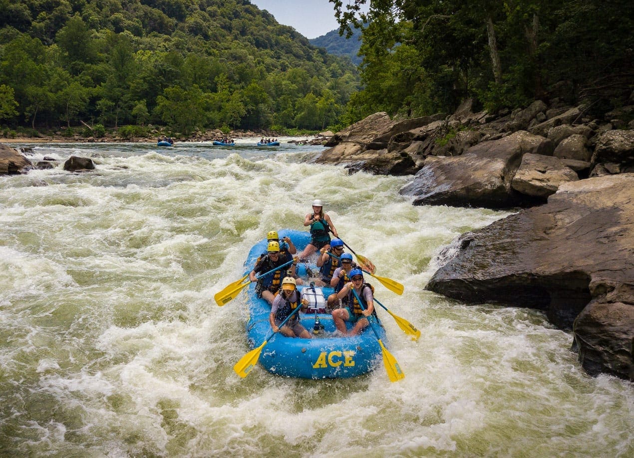
Photo
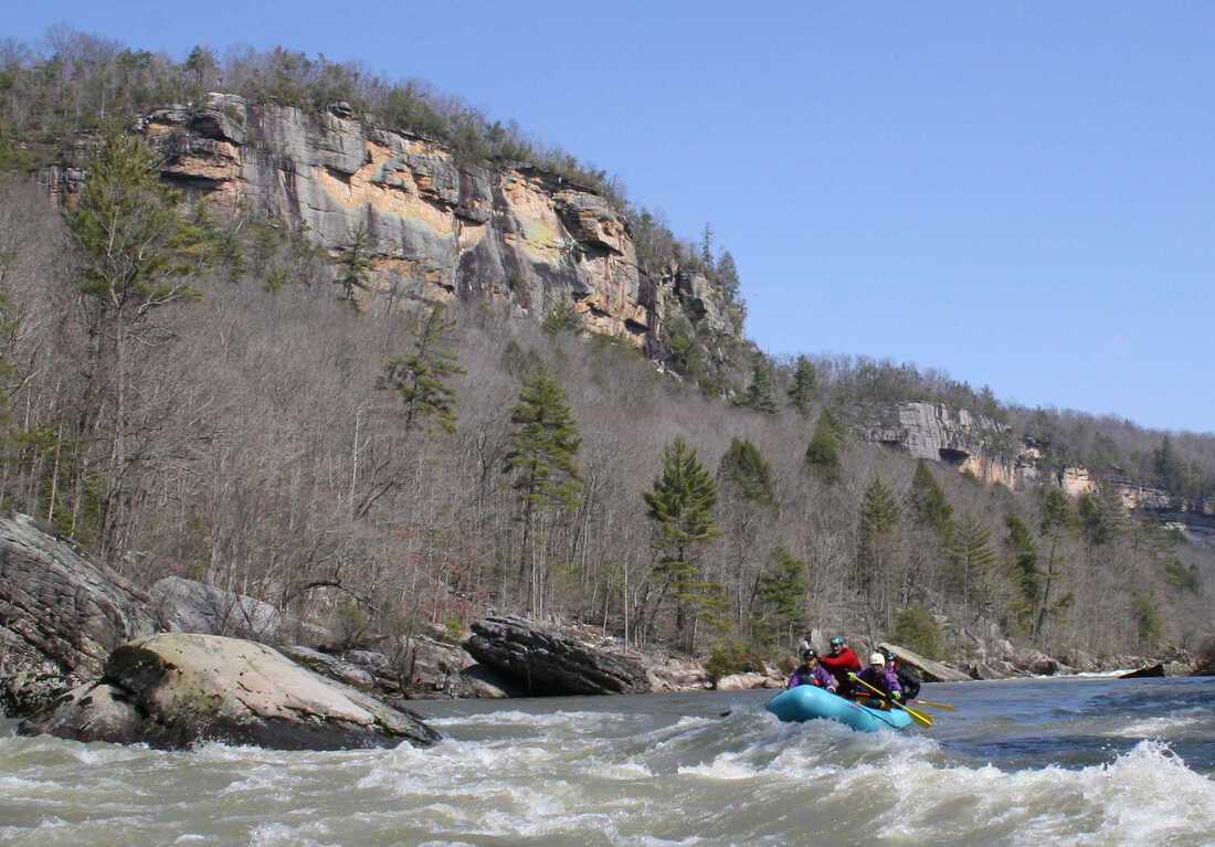
Photo courtesy of American Whitewater
Description
Take Out marks the end of this river section, characterized by a wide, potentially complex exit point with multiple channel options that require careful navigation. Paddlers should be prepared for potential shallow areas, scattered rocks, and the need for precise maneuvering to safely exit the river at this location.
Location
Other Rapids on This Run (1)
View Full Run
4: Sundial (Pettry Bottom) to Whitesville
Big Coal River, Marsh Fork
I-II
10.3 mi
Current Conditions
5-Day Forecast
Whitewater data from
American Whitewater
American Whitewater