Gauge Conditions
Runnable: ? – ? CFS
Approximate - nearest available gauge. Use as general reference only.
Data from American Whitewater & USGS
Photo
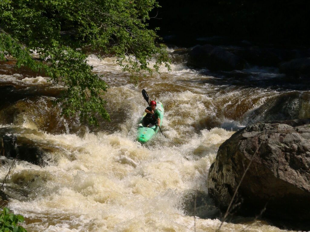
Photo courtesy of American Whitewater
Description
Take Out rapid is the final descent point on Crab Run, located just before the takeout area along Route 250. The rapid features a narrow channel with potential for debris and tight maneuvering, requiring precise boat control and awareness of potential obstacles near the river's edge. Paddlers should be prepared for potential strainers or low-hanging branches in this transition zone between the river and roadside access point.
Location
Other Rapids on This Run (1)
View Full Run
Along Route 250 to McDowell
Crab Run
II-III
3.2 mi
Current Conditions
5-Day Forecast
Whitewater data from
American Whitewater
American Whitewater